Masks are essential in geospatial imagery because they help identify areas with unreliable information, like clouds or shadows. By filtering out these areas, data processing and analysis is more efficient and accurate. Mask data can be embedded in imagery or delivered as separate mask files.
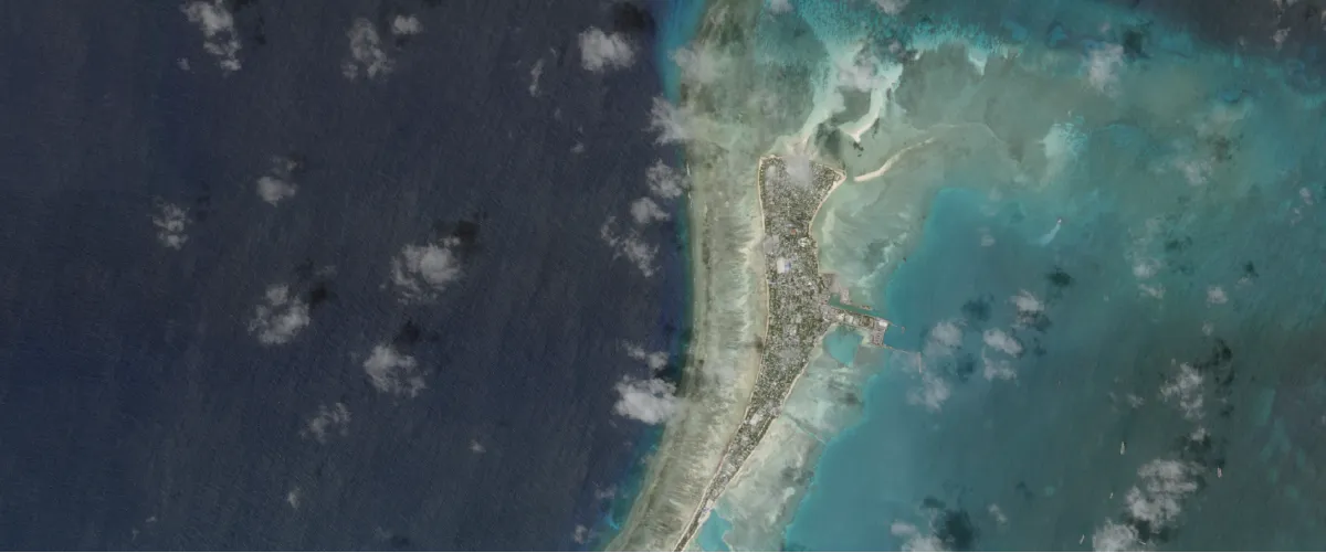
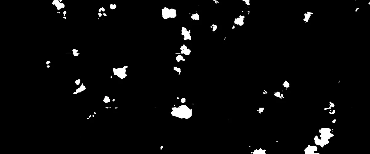
Cloud masks identify and flag areas obscured by clouds, ensuring that only clear and visible portions of an image are used for analysis. These masks improve data accuracy by excluding regions where cloud coverage can distort results. Cloud masks are essential for applications that require unobstructed views, such as land cover mapping or agricultural monitoring.

Environmental data masks mark areas with compromised data quality, such as shadows, snow, ice, haze, saturation, or stray light. By excluding these regions, these masks help ensure only clear and accurate data is used in analysis. Environmental data masks are useful for creating datasets for precise applications.
Quality masks provide reliability indicators based on parameters like angle, data continuity, visibility, and confidence levels. These masks support the selection of high-quality data, ensuring consistency and dependability across images or datasets. Quality masks are essential for thorough data evaluation and accurate analysis.
ROI masks define specific geographic areas within an image, focusing analysis only on targeted locations. This can include predefined regions like urban zones or a user-drawn AOI. By isolating these areas, ROI masks make data processing more efficient.
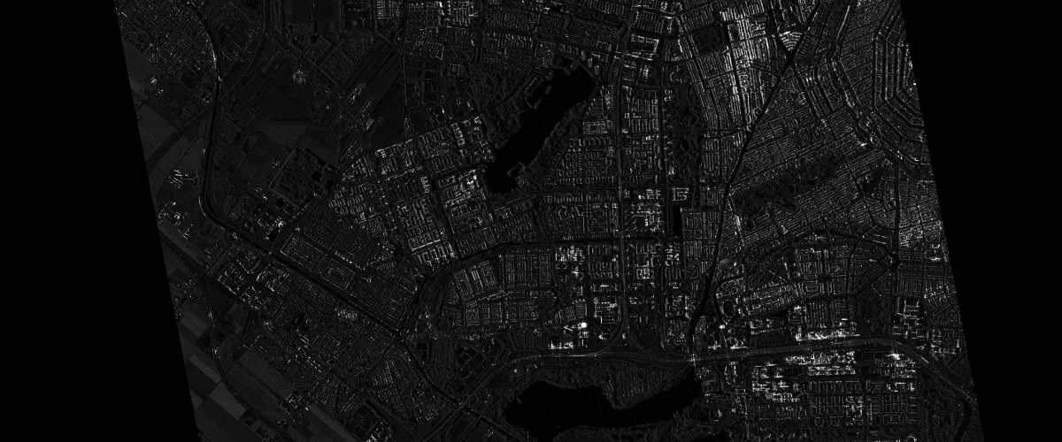
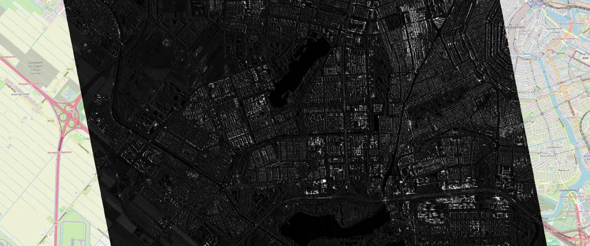
Transparency masks highlight areas with unusable or low-quality data, such as edges, missing pixels, or sensor noise. By filtering out unreliable regions, transparency masks help maintain high data integrity and clarity. Transparency masks are particularly useful in creating seamless mosaics or precise analyses across multiple images.
Transparency masks are provided in the following ways:
-
NoData value
A pixel value that indicates where data is missing or inapplicable. It’s assigned to a value that isn’t used as a valid value elsewhere in the dataset.
-
Alpha band
A band which indicates transparent pixels.
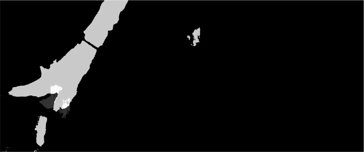
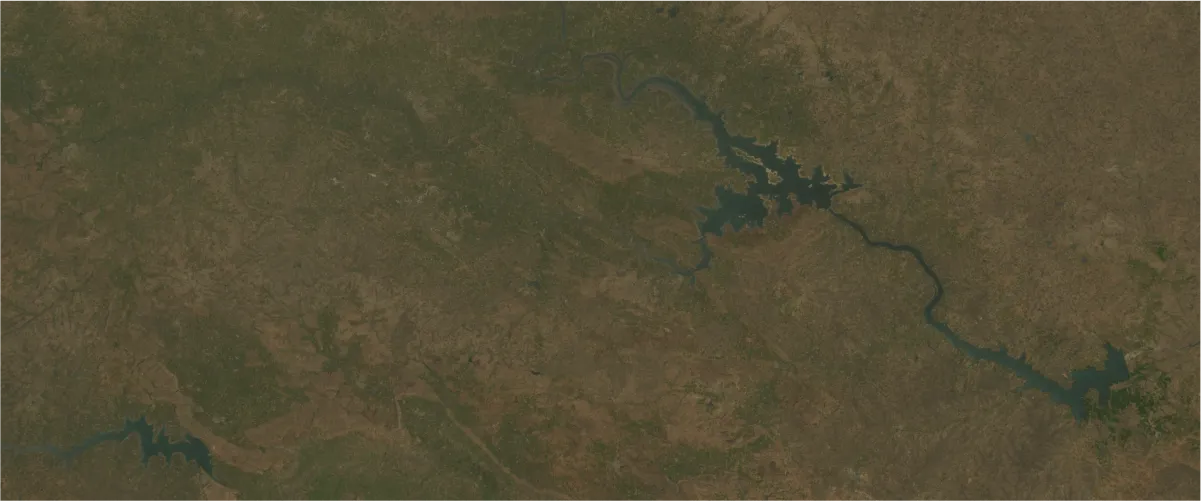
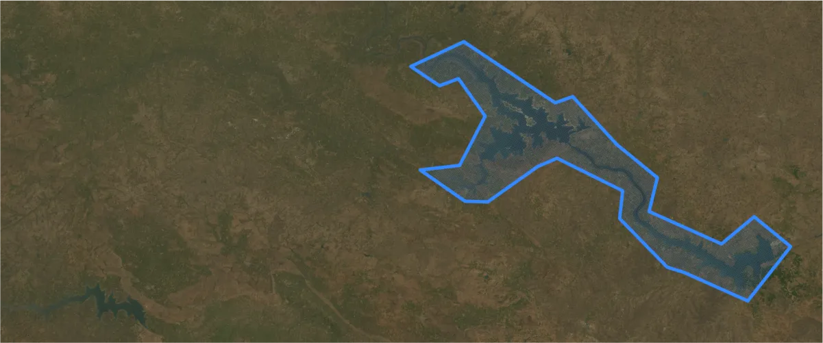
Water masks separate water bodies from land areas, improving data quality in applications focused on terrestrial features. By distinguishing water from other surfaces, this mask enhances the accuracy of analyses, especially in hydrological studies or environmental monitoring. Water masks help streamline land-focused datasets and ensure more relevant results.
*Upon request.