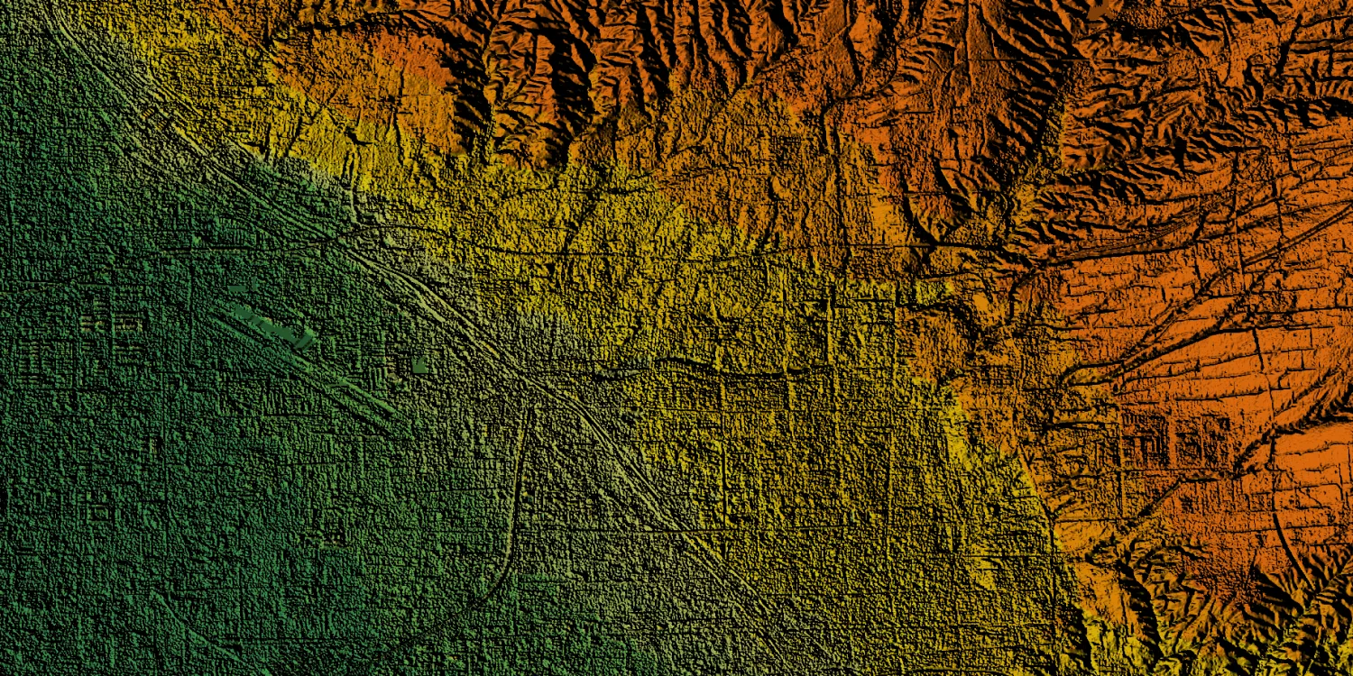
WorldDEM Neo provides 3D elevation surface and terrain models with worldwide availability. The datasets are available from 2017 to 2021.

| Data product | Model | Order link |
|---|---|---|
| WorldDEM Neo DSM | DSM API name and ID:worlddem-neo-dsm | ec016f4c-332c-4190-b18b-13fb12519c40 | |
| WorldDEM Neo DTM Level 1 | DTM API name and ID:worlddem-neo-dtm | 7890c23f-04ca-49fa-8060-31e9edf6b8e9 | |
| WorldDEM Neo DTM Level 2 | DTM API name and ID: Not integrated |
| Specification | Description |
|---|---|
| Provider | Airbus |
| Collection type | Catalog from 800 credits per km2 |
| Product type | Elevation |
| System type | Satellite |
| Specification | Description |
|---|---|
| Resolution | 5 m |
| Bit depth per pixel | 32-bit |
| Delivery format | A ZIP file containing the following files:
|
| Masks | Transparency |
| NoData value | -32,767 |
| Hydro-flattening | Oceans: Set to 0 m Lakes: Set to a single elevation value Rivers: Flattened in steps of 50 cm |
| Data source | TerraSAR‑X |
| Specification | Description |
|---|---|
| Coordinate reference system | Geographic-WGS84 with EGM2008 height |
| Positional accuracy | Horizontal: 6 m CE90 absolute Vertical:
|
| Specification | Description |
|---|---|
| Limitations | Input: AOI from 1 up to 250 km2 Availability: From 2017 to 2021 Output: AOI-clipped imagery |
| Minimum charge | DSM: As per 1 km2 DTM Level 1: As per 1 km2 DTM Level 2: As per 100 km2 |