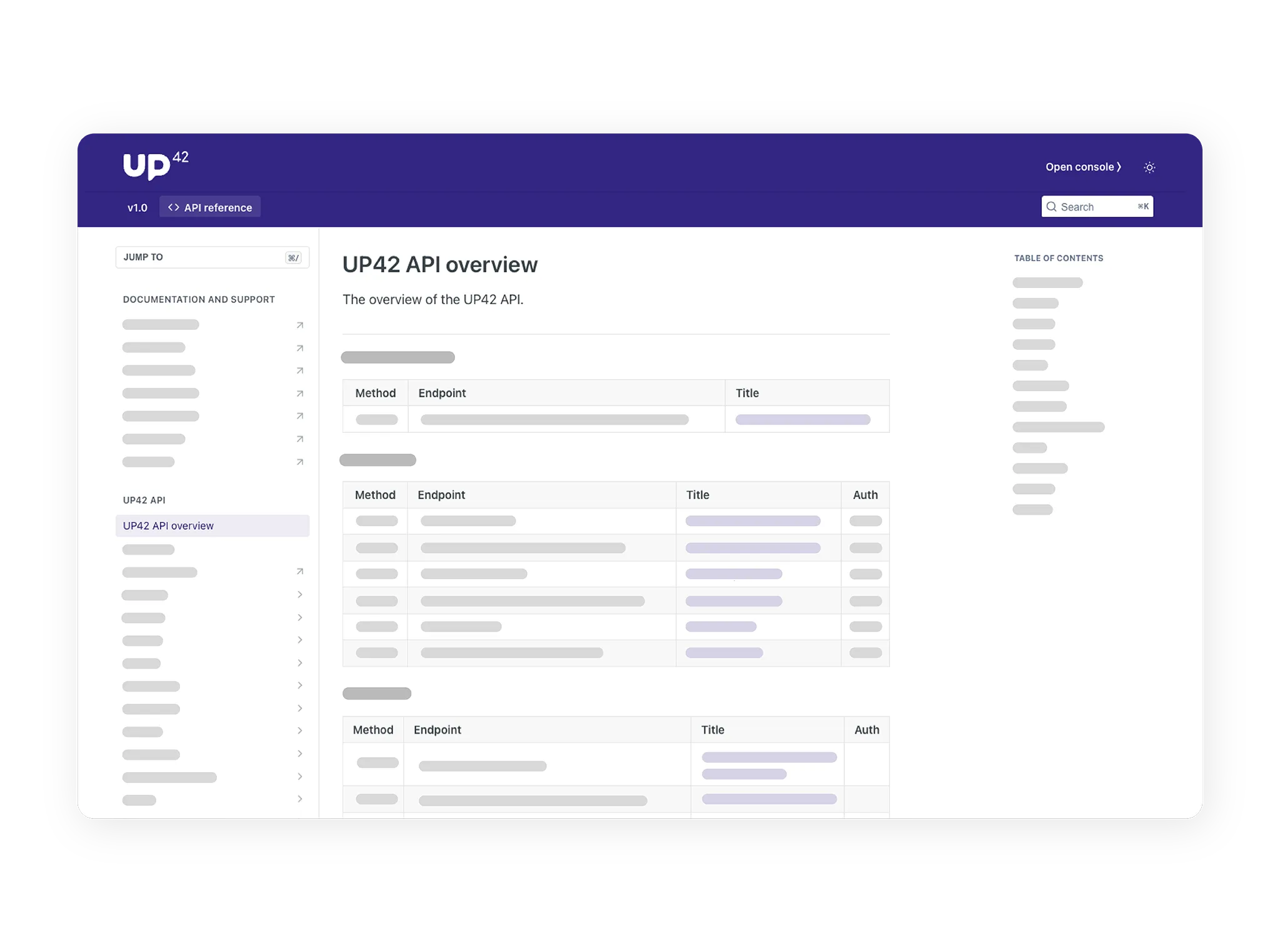
Integrate data ordering and processing directly into your pipeline using our streamlined, programmatic interface.
-
API reference
View UP42 OpenAPI specification.
-
Changelog
Stay informed about the latest updates to the API.
-
Authentication
Get an access token to call API endpoints.
-
Postman guide
Use our Postman collection to test the endpoints.
-
Error codes
Troubleshoot issues with requests.
-
Glossary
Choose data offerings from the glossary using the API.
-
Tasking
Create and monitor tasking orders using the API.
-
Catalog
Create and monitor catalog orders using the API.
-
Geometries
Save geometries in the library using the API.
-
Processing
Run processing jobs using the API.
-
Data management
Access data in storage using the API.
-
Assets
Download and manage order assets using the API.
-
EULAs
Review and accept end-user license agreements using the API.
