Tasking
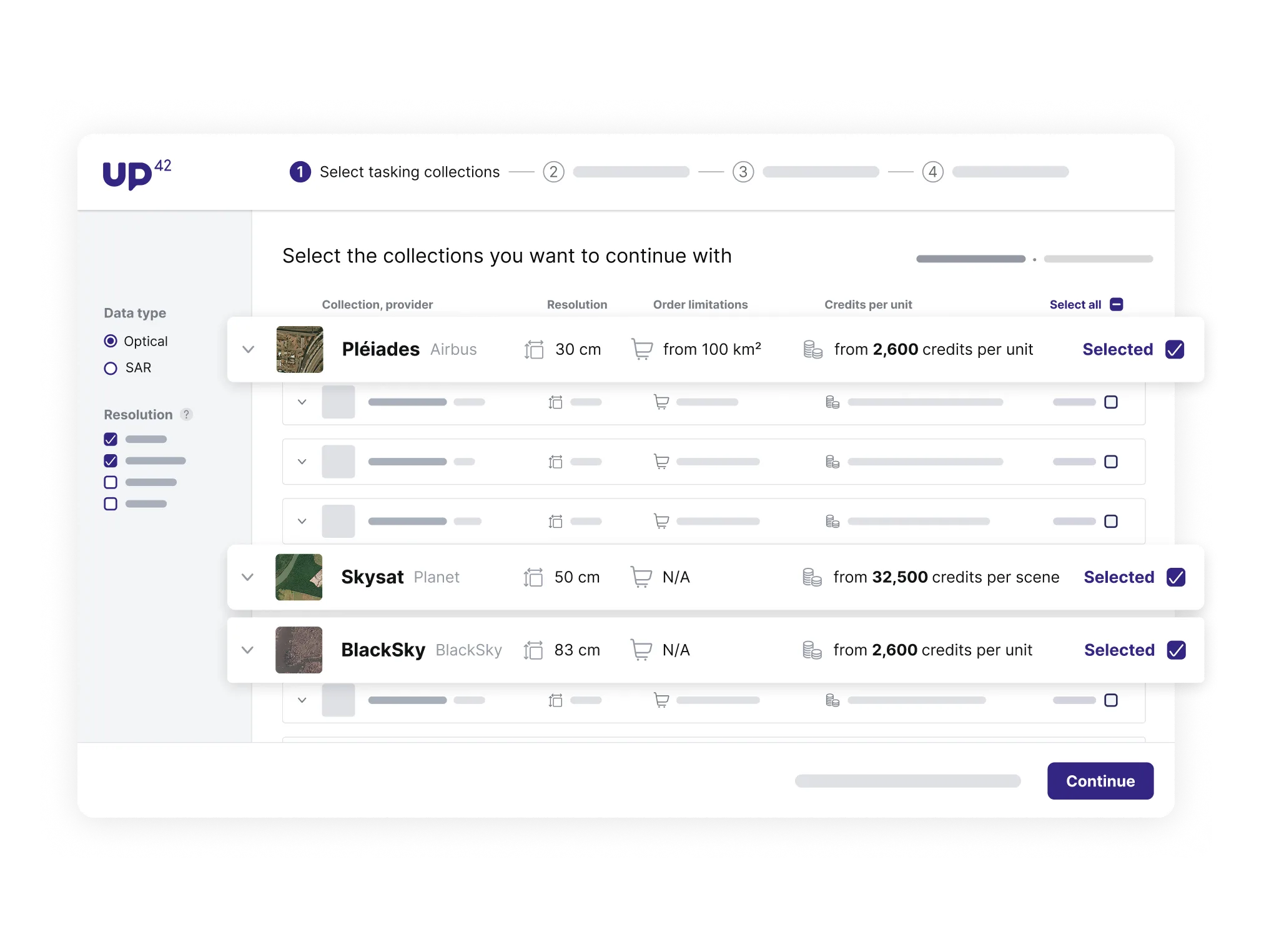
Choose from our tasking collections to order the right data for your project. Specify different acquisition parameters and check capturing opportunities.
Catalog
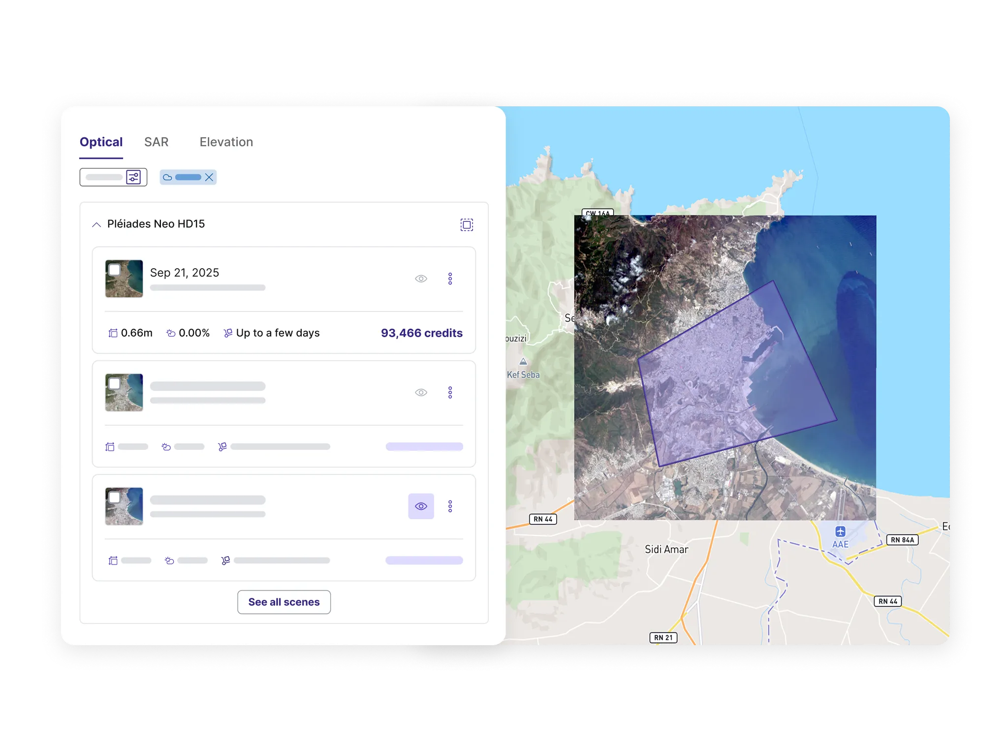
Search for existing scenes across our catalog collections. Specify the date range and maximum cloud coverage, and check preview images before ordering.
-
Collections
Review the specifications of available geospatial data collections.
-
Tasking
Order new imagery data to be captured over a specific area and at a given time.
-
Catalog
Get archive imagery data from a particular date range in the past.
-
Geometry types
Learn about AOIs and POIs.
-
Knowledge base
Learn more about tasking and catalog collections.