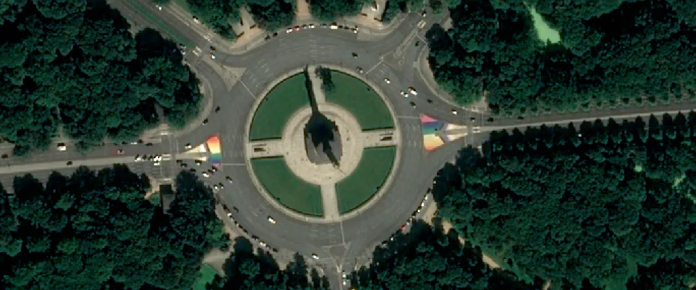
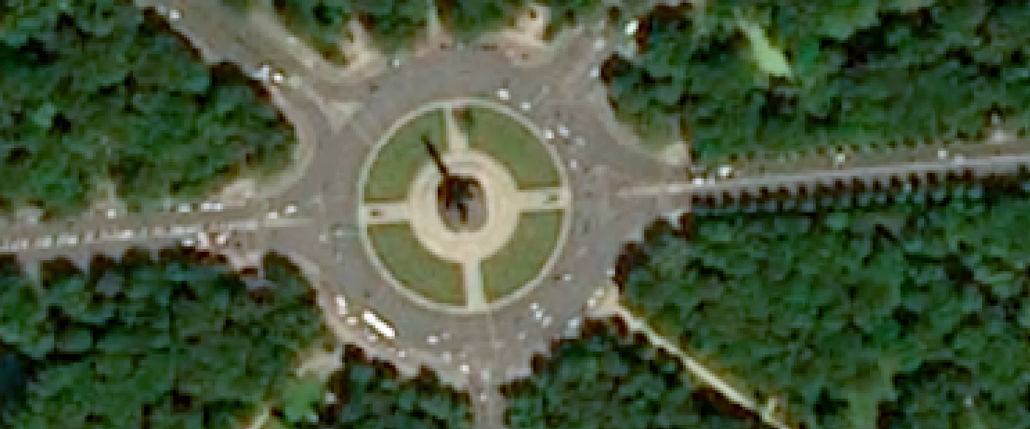
Spatial resolution is the best possible resolution a sensor can achieve under ideal conditions. It’s a property of a collection and is relevant for multispectral and hyperspectral imagery, and digital elevation models (DEMs).
Ground sampling distance (GSD) is the actual resolution of the delivered imagery. It’s a property of an individual asset.
For resolution types specific to SAR collections, see SAR resolution.
Spatial resolution is determined by the sensor’s capabilities and is the optimal resolution. The smaller the number, the better the resolution. In optical collections and DEMs, it’s the smallest possible ground pixel size.
Collections are classified based on their spatial resolution classes.
| Class | Range of values |
|---|---|
| Very high resolution (VHR) | ≤ 50 cm |
| High resolution (HR) | From > 50 cm to ≤ 2 m |
| Medium resolution (MR) | From > 2 m to ≤ 20 m |
| Low resolution (LR) | > 20 m |
GSD is the size of a single pixel on the ground in a captured image. A number of factors influence an image’s final GSD, including the sensor’s viewing angle and the target’s location and terrain.
While spatial resolution is the best possible resolution a sensor can achieve, GSD is the effective resolution of a specific image. The GSD only matches the spatial resolution under ideal conditions, when the sensor is pointing directly down at the target at a 0° nadir angle. For any other viewing angles, the GSD will always greater than the collection’s spatial resolution.


The table compares the collection’s spatial resolution and the expected GSD range of the delivered assets. These values are approximate, as the final GSD depends on the specific processing and acquisition conditions.
| Spatial resolution | Typical GSD range | Observable features |
|---|---|---|
| 5.5 cm | 5.5 cm – 10 cm | Solar cells, construction stockpiles |
| 15 cm | 15 cm – 20 cm | Light poles, traffic signage |
| 30 cm | 30 cm – 50 cm | Vehicles, individual trees |
| 50 cm | 50 cm – 80 cm | Cars, small infrastructure elements |
| 80 cm | 80 cm – 1.20 m | Trucks, small buildings |
| 1.20 m | 1.20 m – 1.50 m | Building infrastructure, forests |
| 10 m | 10 m – 11 m | Land use patterns, environmental features |
When creating a tasking order, check the listed spatial resolution value. Use this value to see the expected GSD range.
When creating a catalog order, check the asset delivery time. Use this value to determine if the listed value is the GSD or the spatial resolution:
-
Up to 10 minutes or Up to 24 hours
These scenes are already processed, so the value shown is the actual GSD for that scene.
-
Up to a few days
These scenes haven’t been processed and the GSD hasn’t been determined. The value shown is the spatial resolution of the collection. Use this to check the expected GSD range.
You can check the GSD of your data in storage as follows:
-
Open the console and go to
Data management → Data items.
- In the search bar, click
. Go to CNAM status and select Transformed data items. Adjust filters and geographic locations. Click Search.
- Access the data item by clicking on it.
- In the opened panel, under General information, find the Ground sampling distance field.
| Collection | VHR | HR | MR | LR |
|---|---|---|---|---|
| AxelGlobe | 2.50 m, 5 m | |||
| Beijing-3A | 50 cm | 2 m | ||
| Beijing-3N | 30 cm | 1.20 m | ||
| BlackSky | 83 cm | |||
| Dragonette-1 | 5.30 m | |||
| EROS-B | 50 cm | |||
| EROS-C | 30 cm | 60 cm | ||
| GEOSAT 1 | 20 m | |||
| GEOSAT 2 | 40 cm | 75 cm, 1.60 m | 3 m | |
| GHGSat | 25 m* | |||
| Globhe Optical | 1 cm* | |||
| GÖKTÜRK-1 | 50 cm | 2 m | ||
| KOMPSAT-3 | 50 cm | 2 m | ||
| KOMPSAT-3A | 40 cm | 1.60 m | ||
| Maxar | 30 cm, 50 cm | 1.2 m, 2 m | ||
| Pixxel | 5.36 m | |||
| Pléiades | 50 cm | 2 m | ||
| Pléiades Neo | 30 cm | 1.20 m | ||
| Satellogic | 70 cm, 1 m | |||
| SkySat | 50 cm | |||
| SPOT | 1.50 m | 6 m | ||
| Vision-1 | 83 cm | 3.48 m |
| Collection | VHR | HR | MR | LR |
|---|---|---|---|---|
| AxelGlobe | 2.50 m*, 5 m* | |||
| Beijing-3A | 50 cm | 2 m | ||
| Beijing-3N | 30 cm | 1.20 m | ||
| BlackSky | 83 cm | |||
| Bluesky Aerial | 10 cm*, 12.5 cm*, 25 cm*, 50 cm* | 1 m*, 2 m* | ||
| Dragonette-1 | 5.30 m* | |||
| EROS-B | 50 cm* | |||
| EROS-C | 30 cm* | 60 cm* | ||
| GEOSAT 1 | 20 m* | |||
| GEOSAT 2 | 40 cm* | 75 cm*, 1.60 m* | 3 m* | |
| Getmapping Aerial | 5 cm*, 12.5 cm*, 25 cm* | |||
| GHGSat | 25 m* | |||
| Globhe Optical | 1 cm* | |||
| GÖKTÜRK-1 | 50 cm* | 2 m* | ||
| Hexagon Aerial | 15 cm, 30 cm | |||
| HotSat-1 | 3.50 m* | |||
| KOMPSAT-3 | 50 cm* | 2 m* | ||
| KOMPSAT-3A | 40 cm* | 1.60 m* | ||
| Landsat 8 | 30 m, 100 m | |||
| Maxar | 15 cm, 30 cm, 50 cm | 1.20 m, 2 m | ||
| Pléiades | 50 cm | 2 m | ||
| Pléiades Neo | 15 cm, 30 cm | 60 cm, 1.20 m | ||
| Satellogic | 70 cm*, 1 m* | |||
| Sentinel-2 | 10 m, 20 m | 60 m | ||
| SkySat | 50 cm | |||
| SPOT | 1.50 m | 6 m | ||
| TripleSat | 80 cm | 3.20 m | ||
| Vexcel Aerial | 5.5 cm, 15 cm | |||
| Vision-1 | 83 cm* | 3.48 m* |
*Upon request.
| Collection | VHR | HR | MR | LR |
|---|---|---|---|---|
| Airbus Elevation | 50 cm* | 1 m* | 4 m* | |
| Globhe Elevation | 1 cm* |
Tasking collections aren’t available.
| Collection | VHR | HR | MR | LR |
|---|---|---|---|---|
| Bluesky Elevation | 25 cm* | 2 m* | 5 m* | |
| Globhe Elevation | 1 cm* | |||
| Hexagon Elevation DSM | 30 cm | 60 cm | ||
| NEXTMap | 1 m | 6 m, 10 m | ||
| PlanetDEM | 30 m* | |||
| Vexcel Elevate | 5.5 cm, 15 cm | |||
| Vivid Terrain | 50 cm | |||
| WorldDEM Neo | 5 m | |||
| WorldDEM4Ortho | 24 m |
*Upon request.
Multispectral bands cover narrower wavelength ranges and thus have lower spatial resolution, while panchromatic bands cover a broader range, giving them higher spatial resolution.
You can use pansharpening to improve the spatial resolution of multispectral bands.
GSD might vary in the along-track and across-track directions. Most collections will provide this as a single averaged value, but some provide these as unique values in their metadata.