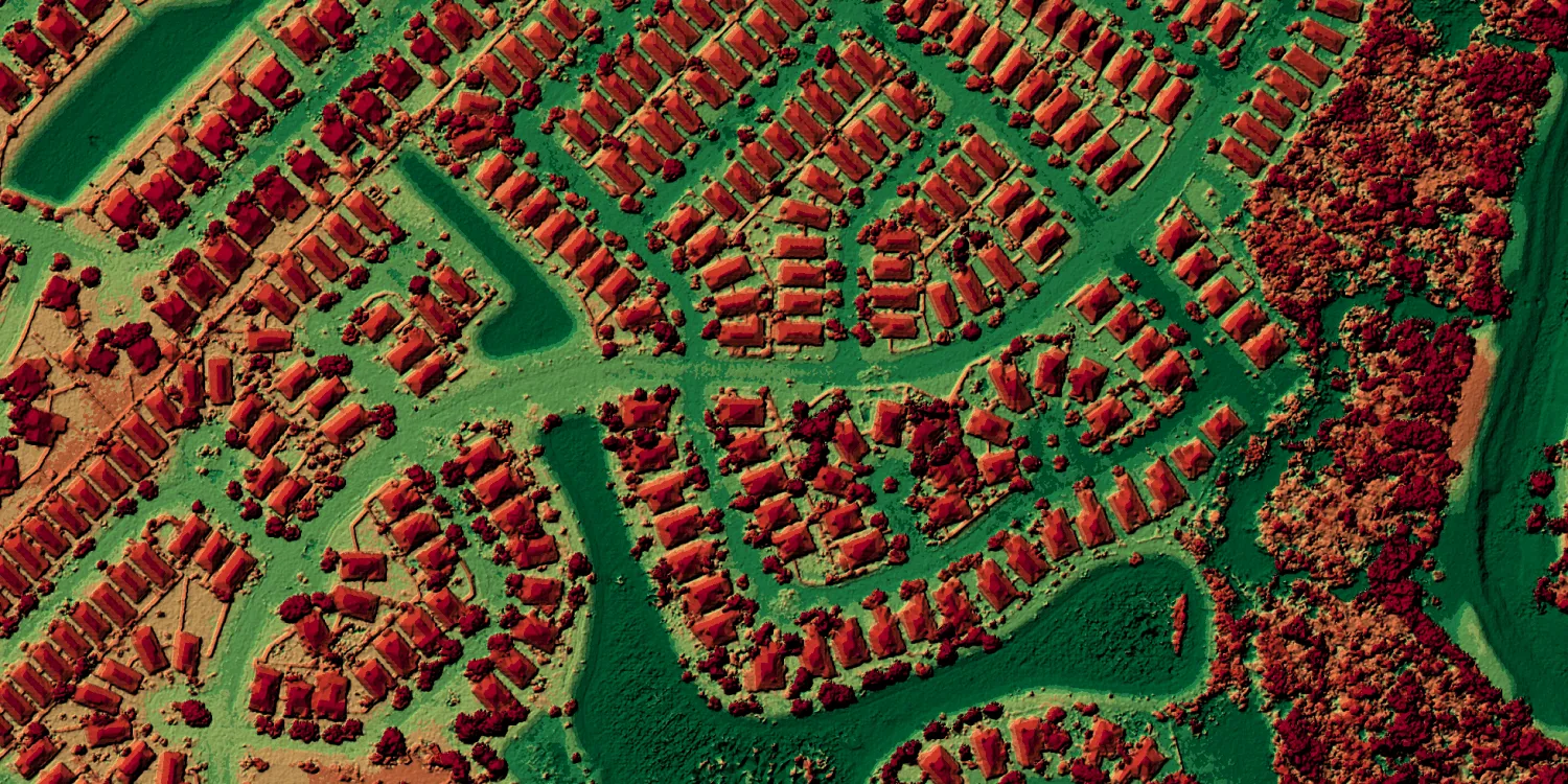
Hexagon Elevation provides digital surface model (DSM) data generated from Hexagon Aerial imagery over parts of North America and Europe.

| Data product | Model | Order link |
|---|---|---|
| Hexagon Elevation DSM — North America 30 cm | DSM API name and ID:hexagon-elevation-na-30cm | 21a741c0-c0a9-4ef4-af24-57f2429e2aab | |
| Hexagon Elevation DSM — Europe 60 cm | DSM API name and ID:hexagon-elevation-eu-60cm | 63aeb0c4-1d0c-4aca-813a-c8bec1214b15 | |
| Hexagon Elevation DSM — North America 60 cm | DSM API name and ID:hexagon-elevation-na-60cm | 1ff07088-af49-4581-a176-ce042ca94b90 |
| Specification | Description |
|---|---|
| Provider | Hexagon |
| Collection type | Catalog from 900 credits per km2 |
| Product type | Elevation |
| System type | Aerial |
| Specification | Description |
|---|---|
| Resolution | Product-dependent:
|
| Bit depth per pixel | 32-bit |
| Delivery format | A ZIP file containing the following files:
|
| Masks | Transparency |
| NoData value | -9,999 |
| Data source | Hexagon Aerial |
| Specification | Description |
|---|---|
| Coordinate reference system | North America: UTM-NAD83 with NAVD88 height Europe: UTM-WGS84 with EGM2008 height |
| Positional accuracy | 30 cm RMSEx/y/z relative 60 cm RMSEx/y/z relative |
| Specification | Description |
|---|---|
| Limitations | Input: AOI Availability:
Output: AOI-clipped imagery |
| Minimum charge | Europe 60 cm: As per 414 km2 North America 30 cm: As per 634 km2 North America 60 cm: As per 1,056 km2 |