The UP42’s console offers four map styles to help you visualize geographic data for different use cases.
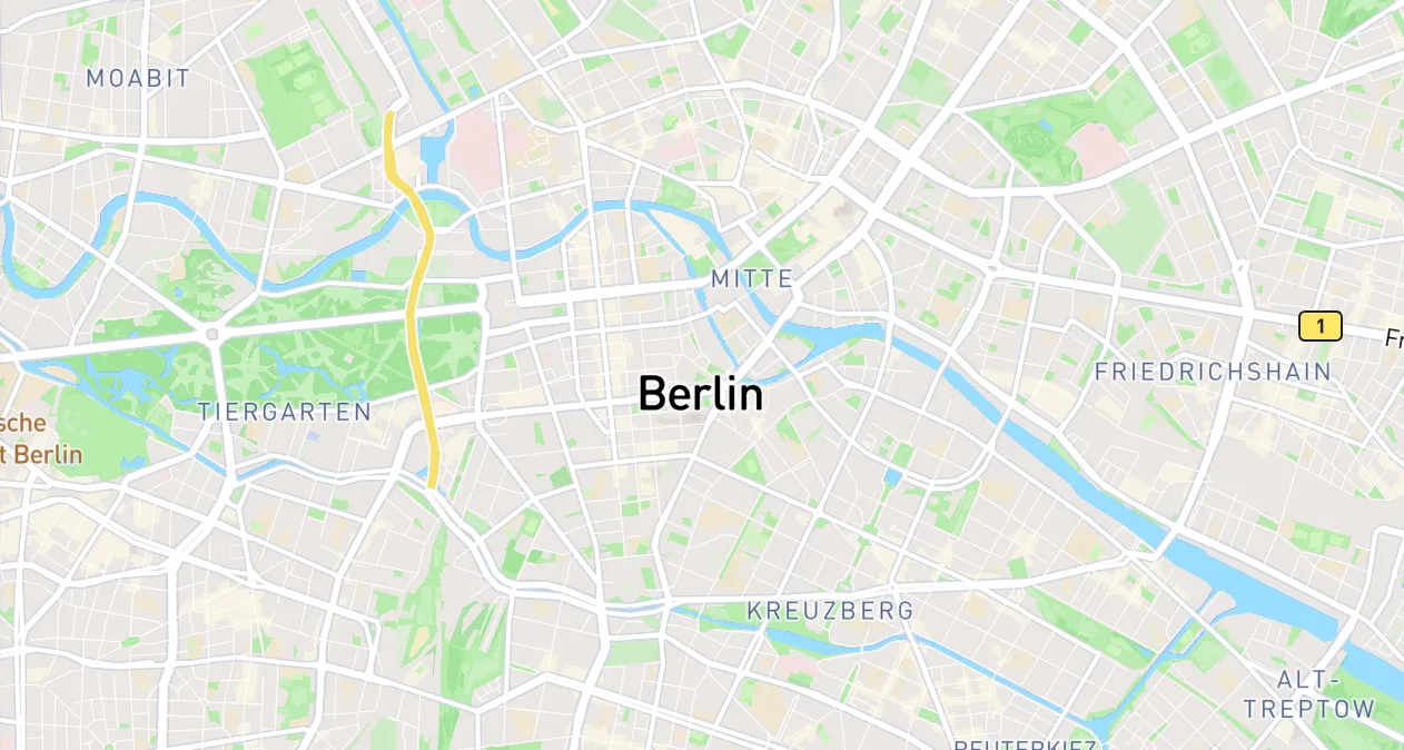
A standard map with roads and administrative boundaries. Use to understand the context of an area.
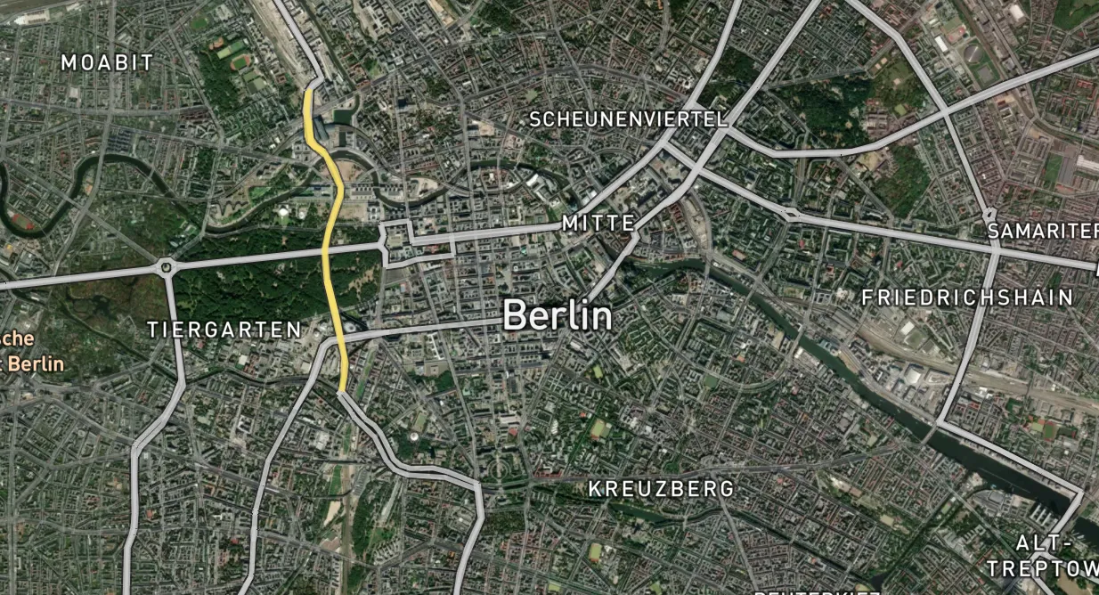
A map with satellite view. Use to view realistic ground details.
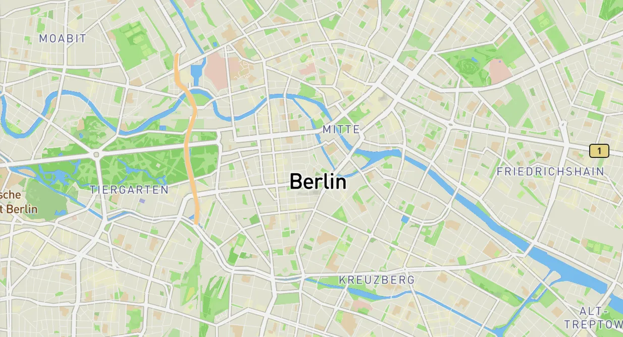
A map with terrain, elevation, and natural features. Use to understand the topography of an area.
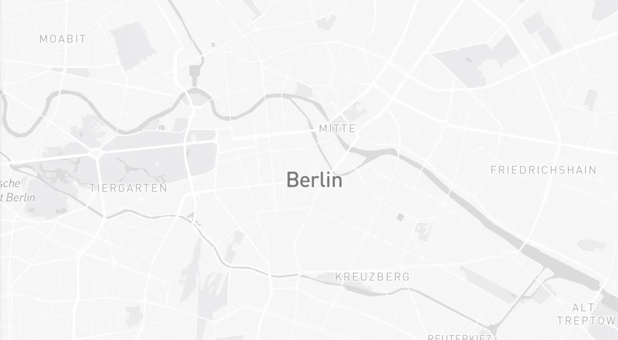
A clean, low-contrast map. Use for data visualization or data overlay.
-
Open the console and go to
 Catalog,
  Tasking, or
  Data management.
- In the bottom-right corner, click
 .
. - Select a map style.
The change will be applied immediately and saved for future sessions.
You can control the visibility of map labels, such as the names of cities, countries, and roads. Keep labels visible when you need geographic context and orientation. To declutter the map and focus on your own data layers, hide the labels for a cleaner view.
-
Open the console and go to Catalog, Tasking, or Data management.
- In the bottom-right corner, click .
- Click the switch to turn labels on or off.
The change will be applied immediately and saved for future sessions.
You can display geometries as outlines with no fill to better see the basemap and other assets underneath your shapes. This option isn’t available for maps in ![]() Tasking.
Tasking.
- Open the console and go to Catalog or Data management.
- In the bottom-right corner, click .
- Click the switch to turn the outline view on or off.
The change will be applied immediately and saved for future sessions.