New to UP42?

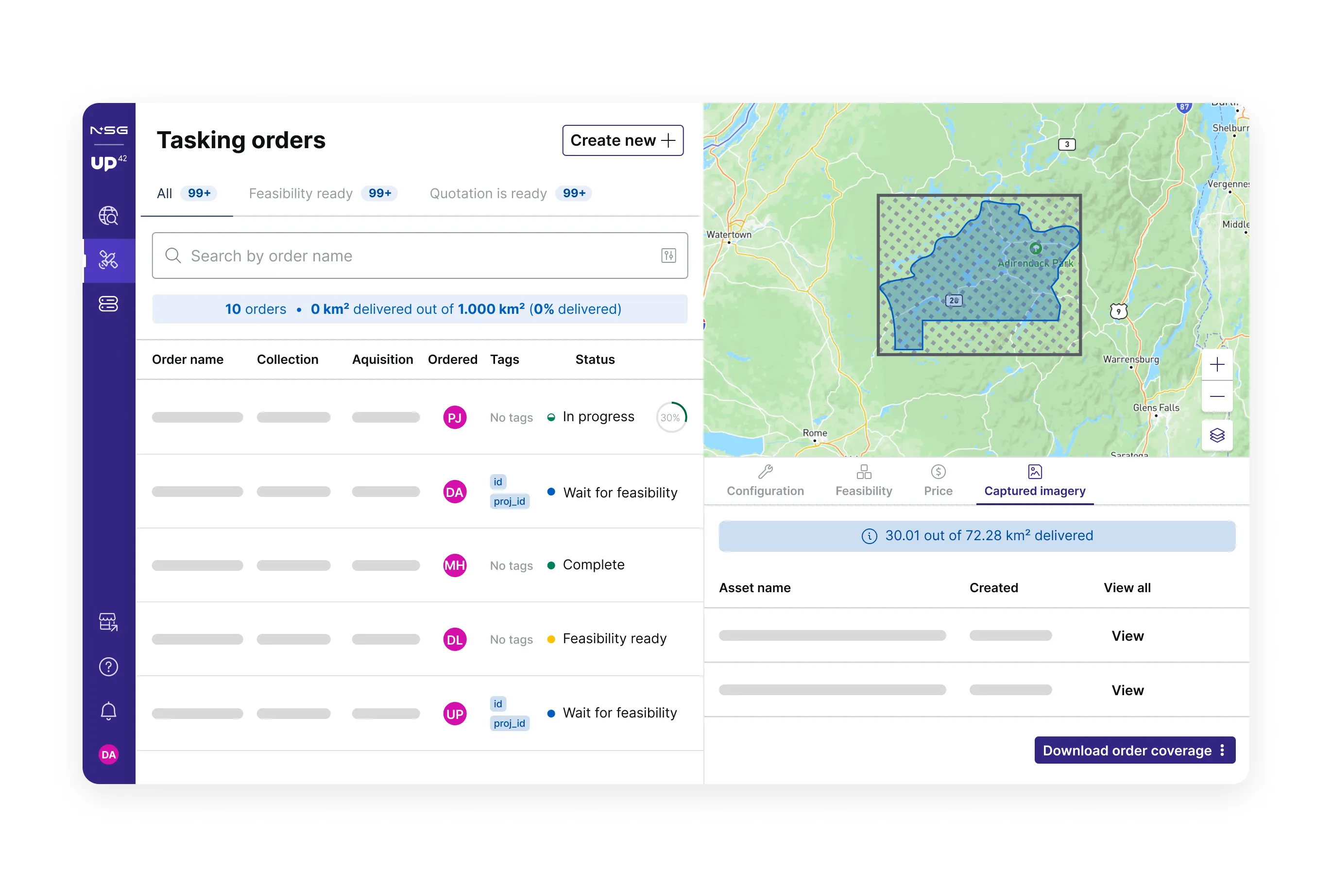
Tasking
Tasking is what happens when you request a satellite or an aircraft to capture your designated area of interest. Commercial capturing systems cover the majority of the world’s lands and oceans.
Seeking up-to-date imagery? Tasking is what you are looking for.
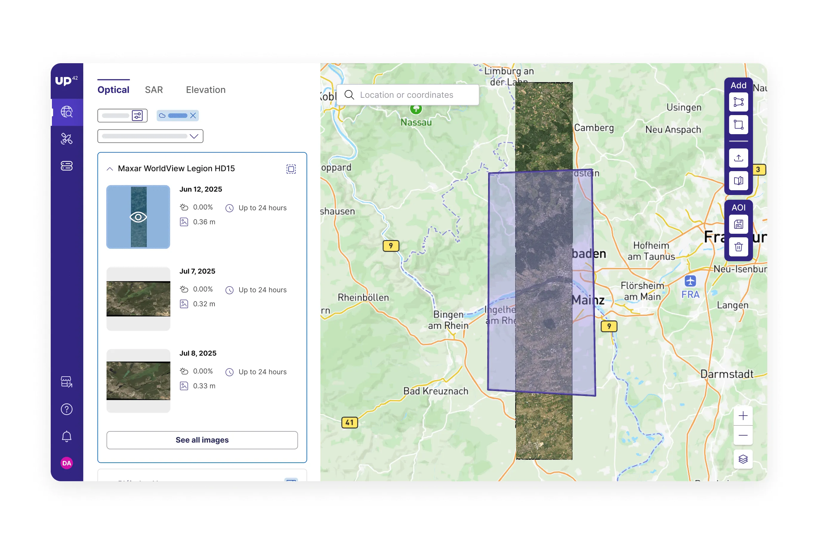
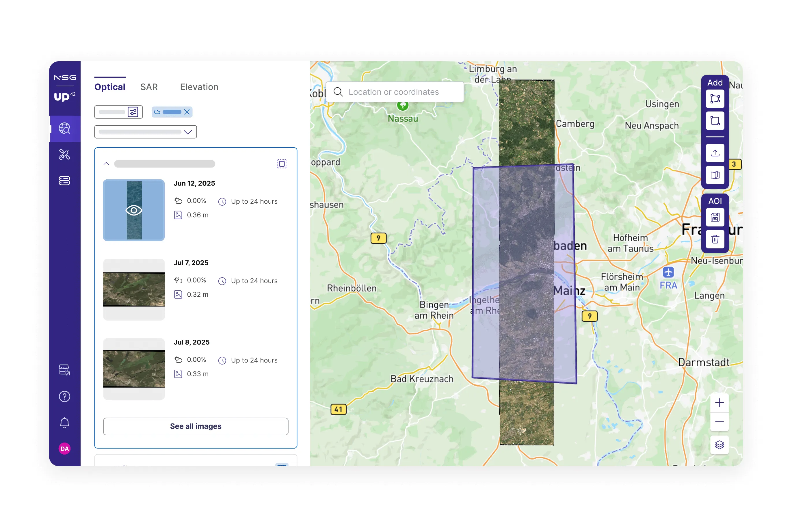
Catalog
UP42 catalog provides access to archive imagery that has been captured in the past. Catalog images are available for immediate purchase. Both paid and free collections are integrated into the catalog.
Want to get archive data? Head over to the catalog to check it out.
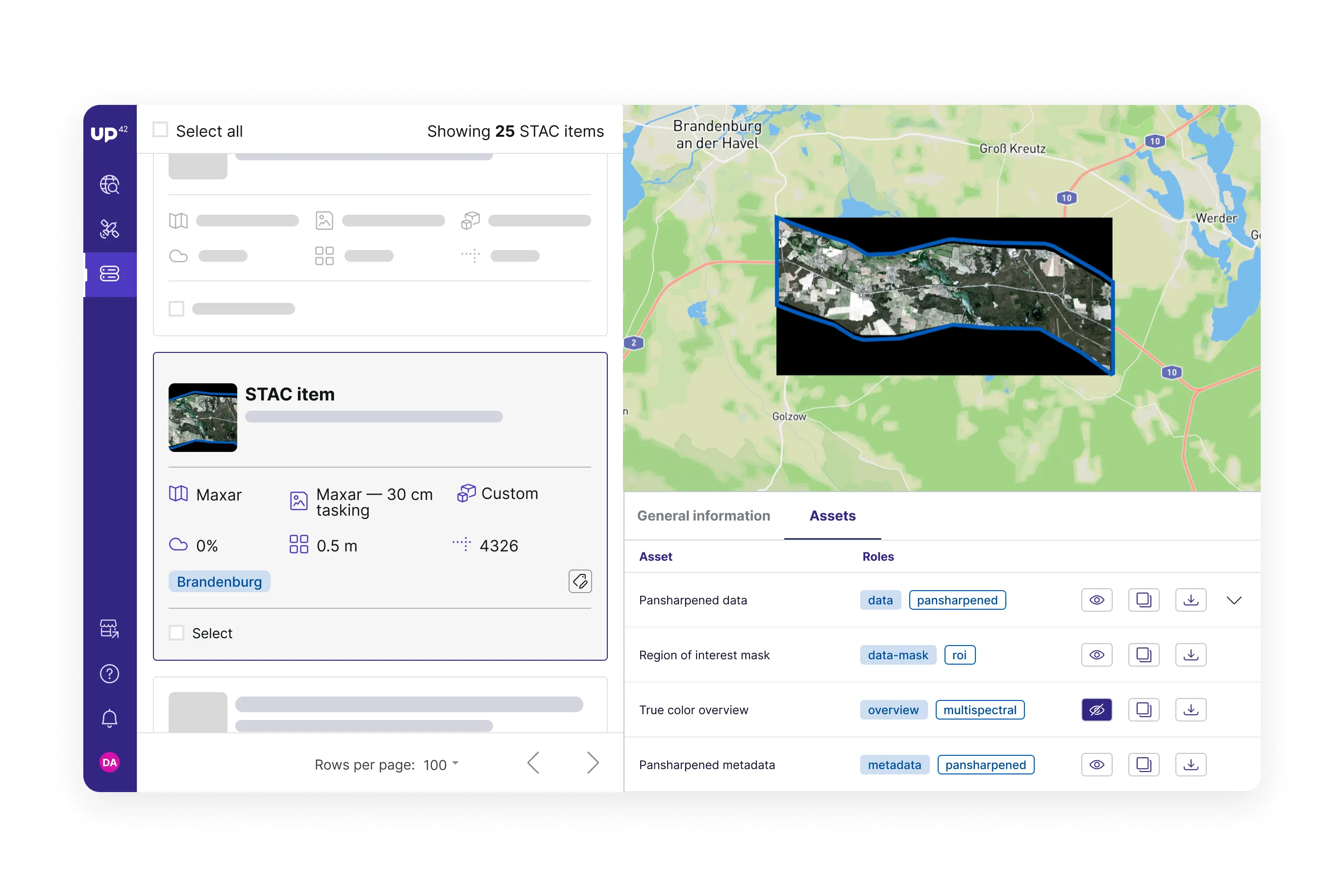

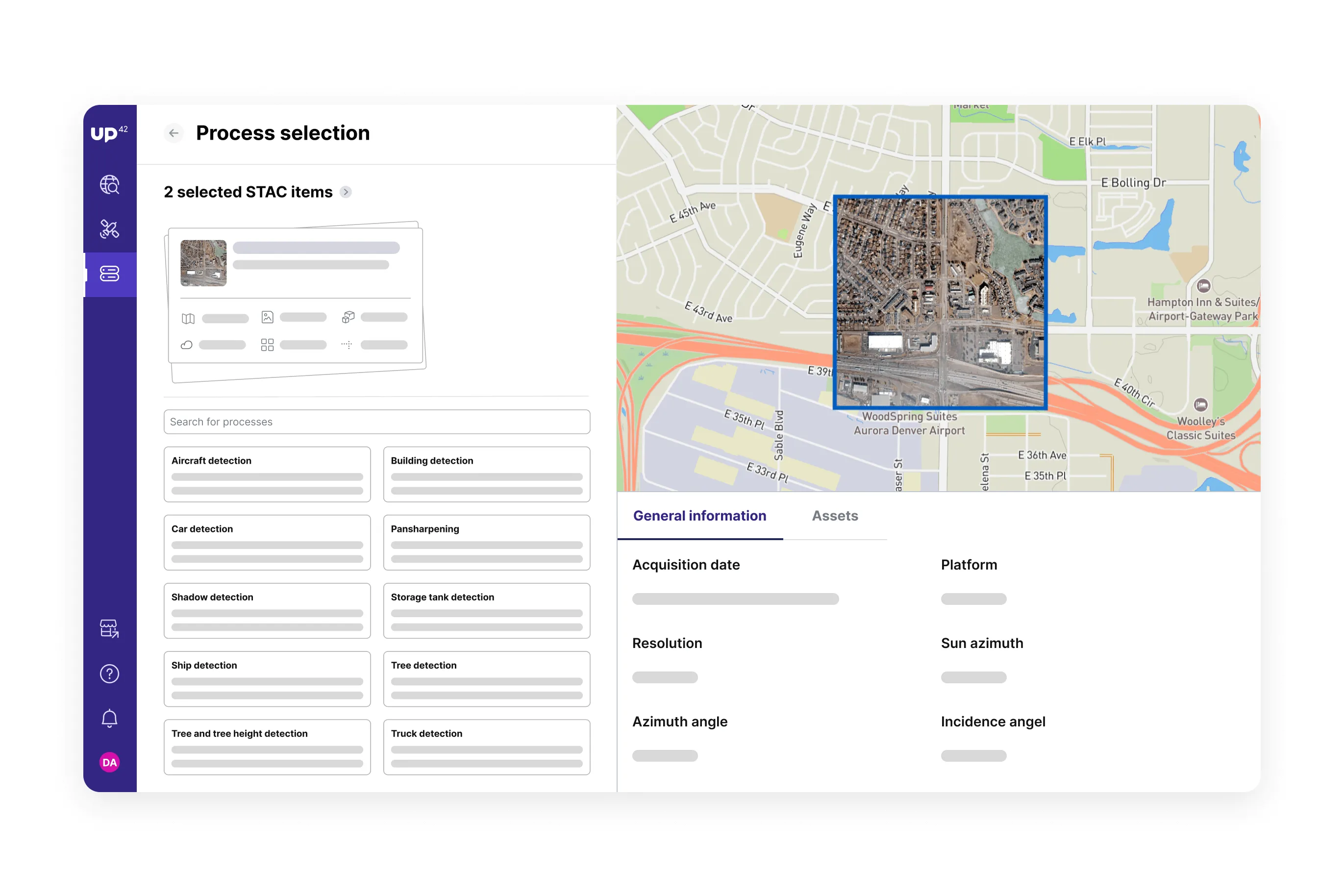
Data management
Data management is storage powered by STAC functionalities and the cloud-native asset model. You can preview multispectral data and download individual features — for example, specific bands.
Looking to manage your geospatial data? Navigate to storage.
Processing
Processing allows you to generate insights from the ordered geospatial imagery. UP42 is bringing leading providers to the platform, ensuring your access to the most advanced enhancement and analytics algorithms available.
Need insights from your data? Explore our processing capabilities.
Console
UP42’s console provides a graphical interface for ordering geospatial data, as well as user and account management.
API
UP42’s API enables you to integrate functionalities for ordering and retrieving geospatial data into your applications.
SDK
UP42’s Python SDK allows you to access the API directly and to build workflows within your software solutions.
ArcGIS Pro
UP42 supports an add-in for ESRI’s ArcGIS Pro to let you order and access geospatial data within ArcGIS Pro.