To order geospatial collections, you need to specify a geometry that you want to get. Different collections accept different geometry types.
Area of interest (AOI)
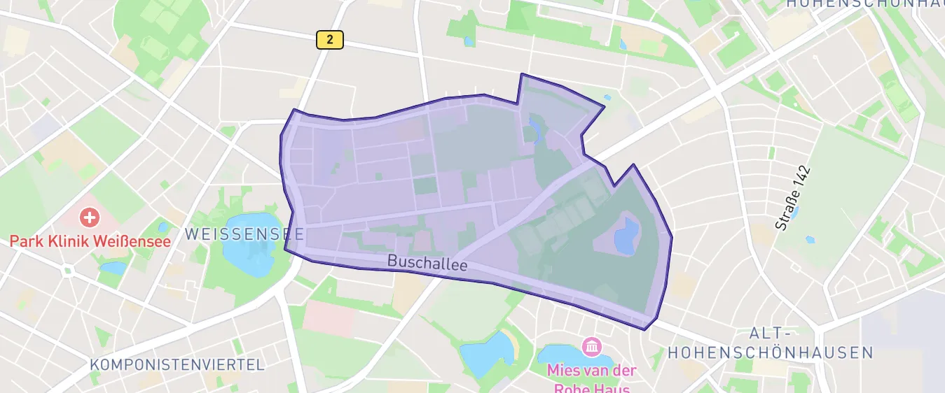
An AOI is a polygon: a two-dimensional closed shape defined by geographical coordinates.
Depending on the collection, when ordering an AOI, you’ll either get full scenes intersecting the AOI or the exact area you defined.
Point of interest (POI)
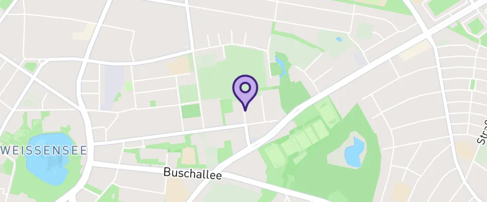
A POI is a point: a specific location defined by longitude and latitude.
When ordering a POI, you’ll get a full scene centered on the defined POI.
You can define a single or multipart geometry using the Polygon or Point geometry types.
Geometries should contain no more than 999 vertices.
| Geometry type | Supported for tasking | Supported for catalog | Supported for data management |
|---|---|---|---|
Single AOI: One | |||
Multipart AOI: Several |
Converted to a bounding box | ||
Single POI: One | |||
Multipart POI: Several | |||
Other types:
|