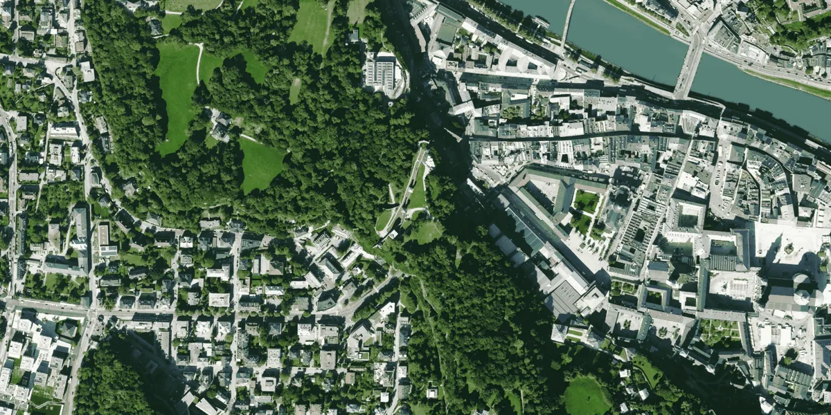
Very high resolution 8-bit aerial imagery is acquired with Leica ADS100 and Leica DMC III large-format digital airborne sensors daily in some parts of North America and Europe.

| Data product | Spectral bands combination | Order link |
|---|---|---|
| Hexagon Aerial — North America 15 cm | Bundle with both combinations:
hexagon-na-15cm | aba5216d-1876-4170-8ab7-10627bddbc9c | |
| Hexagon Aerial — Europe 30 cm | Bundle with both combinations:
hexagon-eu-30cm | 522262d1-5ae5-4da3-8872-181aaafb9820 | |
| Hexagon Aerial — North America 30 cm | Bundle with both combinations:
hexagon-na-30cm | 8acca1de-0ed8-4a8d-987e-e1479cf63140 |
| Specification | Description |
|---|---|
| Provider | Hexagon |
| Collection type | Catalog from 600 credits per km2 |
| Product type | Multispectral |
| System type | Aerial |
| Specification | Description |
|---|---|
| Resolution | Product-dependent:
|
| Bit depth per pixel | 8-bit |
| Delivery format | A ZIP file containing the following files:
|
| Masks | Transparency |
| NoData value | 0 |
| Specification | Description |
|---|---|
| Acquisition mode | Mono |
| Catalog refresh rate | Variable |
| Specification | Description |
|---|---|
| Spectral bands | True color combination:
False color combination:
|
| Specification | Description |
|---|---|
| Coordinate reference system | Projected-WGS84 |
| Positional accuracy | 2.6 m CE90 absolute |
| Specification | Description |
|---|---|
| Limitations | Input: AOI up to 50 km2 (maximum bounding area: 1,000 km2) Availability:
Output: AOI-clipped imagery |
| Minimum charge | Europe 30 cm: As per 7 km2 North America 15 cm: As per 10 km2 North America 30 cm: As per 17 km2 |