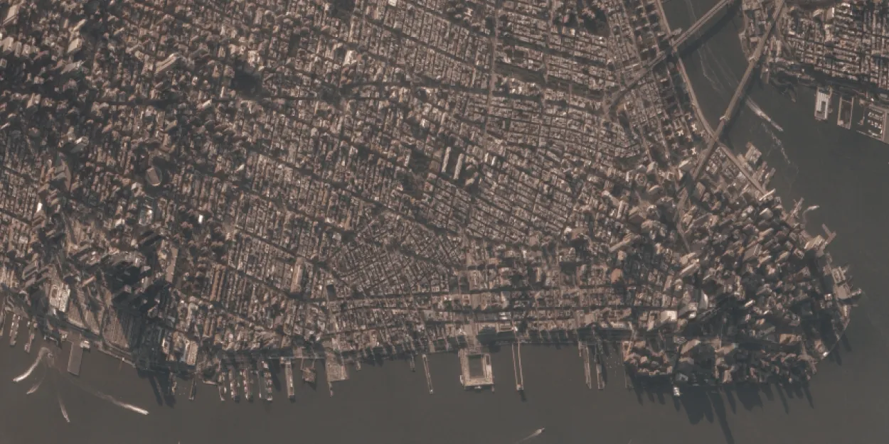
BlackSky’s constellation consists of satellites launched into mid-inclination and sun-synchronous orbits that provide a high revisit rate, responsive last-minute tasking, and timely collect-to-data-delivery latency time frames.

| Data product | Spectral bands combination | Order link |
|---|---|---|
| Custom | Bundle: 1 panchromatic and 3 multispectral bands (RGB) API name and ID:blacksky-tasking | 613ad1f5-4148-4460-a316-1a97e46058f9 |
| Data product | Spectral bands combination | Order link |
|---|---|---|
| BlackSky Mono | Bundle: 1 panchromatic and 3 multispectral bands (RGB) API name and ID:blacksky-mono | 319b55e0-e58f-42ff-9eaa-9767e09e0565 | |
| BlackSky Stereo | Bundle: 1 panchromatic and 3 multispectral bands (RGB) API name and ID:blacksky-stereo | e4780d1d-e75e-44a9-ace3-6526f183800a |
| Specification | Description |
|---|---|
| Provider | BlackSky |
| Collection type | Tasking from 17,500 credits per scene Catalog from 9,000 credits per scene |
| Product type | Multispectral |
| System type | Satellite |
| Specification | Description |
|---|---|
| Resolution | 83 cm |
| Bit depth per pixel | 16-bit |
| Delivery format | A ZIP file containing the following files:
|
| Masks | A GeoTIFF file containing the following masks:
|
| NoData value | 0 |
The data is delivered in all indicated processing levels as scaled DN imagery.
| Primary | Georectified | Orthorectified | |
|---|---|---|---|
| Basic | |||
| TOA | |||
| Surface reflectance | |||
| Display |
| Mono |
| Specification | Description |
|---|---|
| Acquisition mode | Tasking:
Catalog:
|
| Incidence angle | Up to 30° |
| Tasking priority | Standard High |
| Orbit | Mid-inclination, from 42° to 53°, at 400–460 km Sun-synchronous, at 449–701 km |
| Number of satellites | 14 |
| Revisit rate | 7 times a day |
| Specification | Description |
|---|---|
| Spectral bands | Panchromatic: 450–700 nm Multispectral:
|
| Specification | Description |
|---|---|
| Coordinate reference system | Georectified: Geographic-WGS84 Orthorectified: UTM-WGS84 |
| Positional accuracy | < 20 m CE90 absolute |
| Specification | Description |
|---|---|
| Limitations | Input: POI Cloud coverage: 30–100% Output: Scene sized from 26 km2 to 33 km2 |
| Minimum charge | As per 1 scene |
| Specification | Description |
|---|---|
| Limitations | Input: AOI up to 1,000 km2, with up to 300 vertices Availability:
Output: Scenes sized from 26 km2 to 33 km2 |
| Minimum charge | As per 1 scene |
The geographic coverage is global.