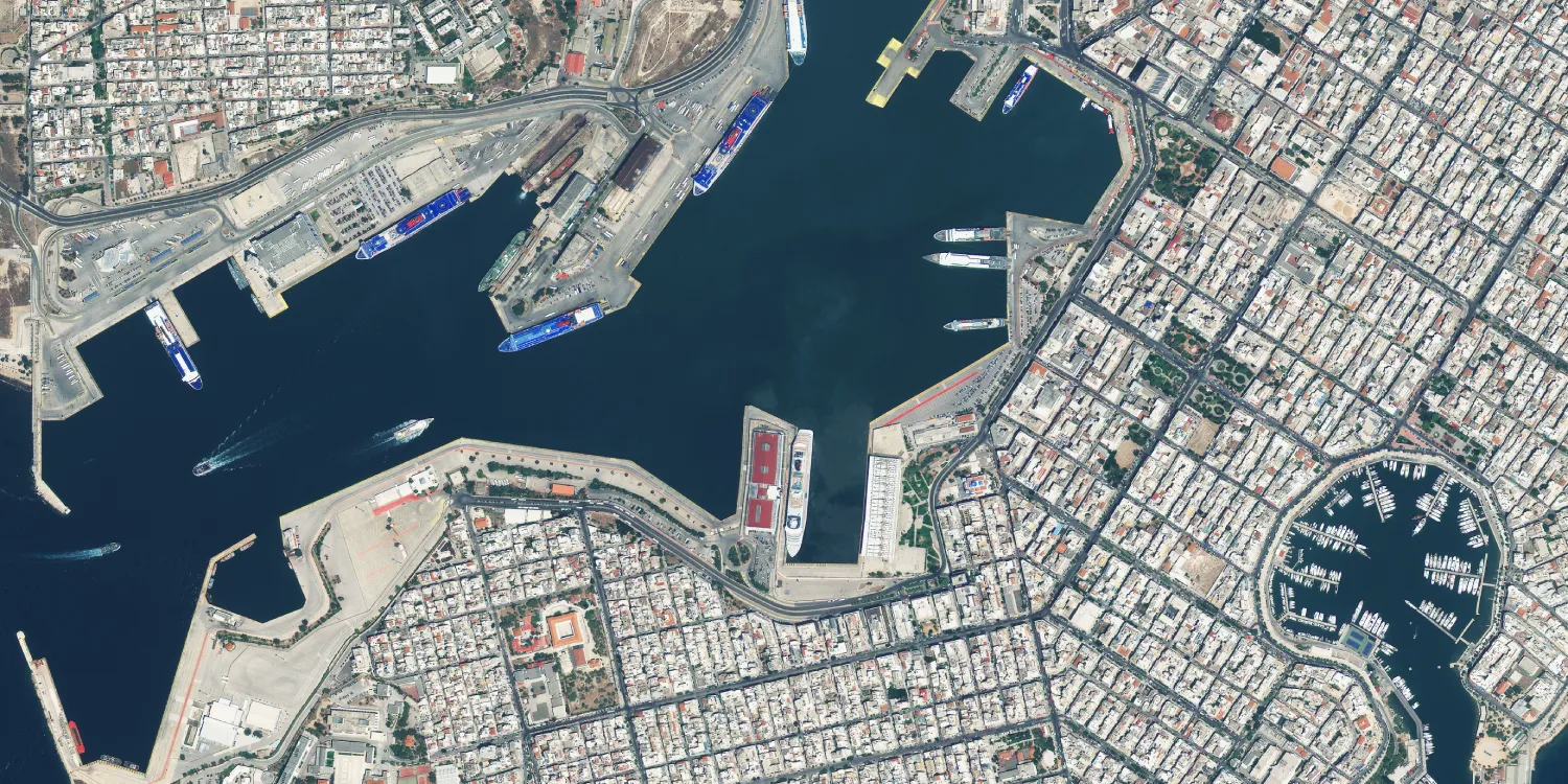
Beijing-3A images are acquired by a very high resolution multispectral satellite every 4 days anywhere on the globe.

| Data product | Spectral bands combination | Order link |
|---|---|---|
| Custom |
beijing-3a-tasking | ba8cfbd5-348d-42f4-b5c2-04dad753c5e2 |
| Data product | Spectral bands combination | Order link |
|---|---|---|
| Level 1 (8‑bit) | Bundle: 1 panchromatic and 4 multispectral bands (RGB and NIR) API name and ID:beijing-3a-level-1-8bit | e080274b-6cfb-4a89-bc12-64fd4895b3c2 | |
| Level 1 (16‑bit) | Bundle: 1 panchromatic and 4 multispectral bands (RGB and NIR) API name and ID:beijing-3a-level-1-16bit | b67e8924-b2cd-4b47-abc8-598e2b1b8371 | |
| Level 2A (8‑bit) | Bundle: 1 panchromatic and 4 multispectral bands (RGB and NIR) API name and ID:beijing-3a-level-2-8bit | 8d9a8109-c535-4063-aabe-d5c7307bcccb | |
| Level 2A (16‑bit) | Bundle: 1 panchromatic and 4 multispectral bands (RGB and NIR) API name and ID:beijing-3a-level-2-16bit | 667727b5-9382-4ff0-8602-6843121a8cef | |
| Level 4 (8‑bit) |
| |
| Level 4A (8‑bit) |
|
| Specification | Description |
|---|---|
| Provider | 21AT |
| Collection type | Tasking from 2,000 credits per km2 Catalog from 1,200 credits per km2 |
| Product type | Multispectral |
| System type | Satellite |
| Specification | Description |
|---|---|
| Resolution | Panchromatic: 50 cm Pansharpened: 50 cm Multispectral: 2 m |
| Bit depth per pixel | 8‑bit 16‑bit |
| Delivery format | A ZIP file containing the following files:
|
| Masks | Cloud Transparency |
| NoData value | 0 |
| Primary | Georectified | Orthorectified | |
|---|---|---|---|
| Basic | |||
| TOA | Level 1 with RPC | Level 2A | Level 4* Level 4A* |
| Surface reflectance | |||
| Display |
*Upon request.
| Specification | Description |
|---|---|
| Acquisition mode | Tasking:
Catalog: Mono |
| Incidence angle | Up to 45° |
| Tasking priority | Standard |
| Orbit | Sun-synchronous, at 500 km |
| Number of satellites | 1 |
| Revisit rate | Every 4 days |
| Swath width | 23.5 km |
| Specification | Description |
|---|---|
| Spectral bands | Panchromatic: 450–700 nm Multispectral:
|
| Specification | Description |
|---|---|
| Coordinate reference system | Geographic-WGS84 |
| Positional accuracy | < 10 m CE90 absolute |
| Specification | Description |
|---|---|
| Limitations | Input: AOI at least 2 km wide Cloud coverage: 5–100% Output: AOI-clipped imagery |
| Minimum charge | As per 50 km2 |
| Specification | Description |
|---|---|
| Limitations | Input: AOI with at least 4 unique vertices Availability: From 2021 Output: AOI-clipped imagery |
| Minimum charge | As per 10 km2 |