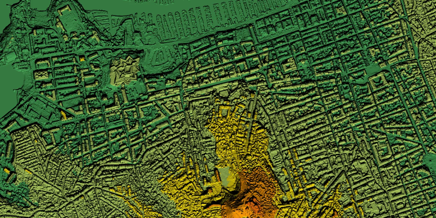
Airbus Elevation provides digital surface models (DSM) and digital terrain models (DTM) generated from Pléiades Neo and Pléiades imagery anywhere on the globe.

| Data product | Model | Order link |
|---|---|---|
| Elevation 0.5 DSM | DSM API name and ID: Not integrated | |
| Elevation 0.5 DTM | DTM API name and ID: Not integrated | |
| Elevation 0.5 Bundle | Bundle: DSM and DTM API name and ID: Not integrated | |
| Elevation 1 DSM | DSM API name and ID: Not integrated | |
| Elevation 1 DTM | DTM API name and ID: Not integrated | |
| Elevation 1 Bundle | Bundle: DSM and DTM API name and ID: Not integrated | |
| Elevation 4 DSM | DSM API name and ID: Not integrated | |
| Elevation 4 DTM | DTM API name and ID: Not integrated | |
| Elevation 4 Bundle | Bundle: DSM and DTM API name and ID: Not integrated |
| Specification | Description |
|---|---|
| Provider | Airbus |
| Collection type | Tasking from 3,215 credits per km2 |
| Product type | Elevation |
| System type | Satellite |
| Specification | Description |
|---|---|
| Resolution | Elevation 0.5: 50 cm Elevation 1: 1 m Elevation 4: 4 m |
| Masks | Transparency |
| NoData value | -32,767 |
| Data source | Pléiades Neo and Pléiades |
| Specification | Description |
|---|---|
| Tasking priority | Standard |
| Orbit | Sun-synchronous, at 620 km |
| Number of satellites | 2 |
| Revisit rate | 2 times a day |
| Specification | Description |
|---|---|
| Coordinate reference system | Elevation 0.5:
Elevation 1 and Elevation 4:
|
| Positional accuracy | Horizontal:
Vertical:
Horizontal:
Horizontal:
Vertical:
|
| Specification | Description |
|---|---|
| Limitations | Input: AOI from 10 km Output: AOI-clipped imagery |
| Minimum charge | As per 100 km2 |
The geographic coverage is global.