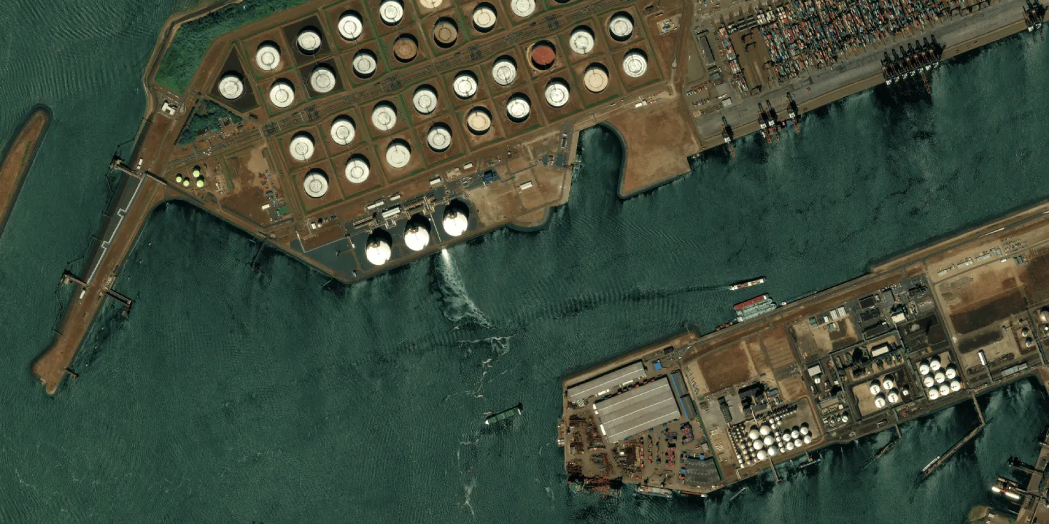
Pléiades imagery is acquired by two very high resolution multispectral satellites (Pléiades 1A and 1B) daily anywhere on the globe. Catalog datasets are available starting from 2012.

| Data product | Spectral bands combination | Order link |
|---|---|---|
| Custom |
phr-tasking | 4f866cd3-d816-4c98-ace3-e6105623cf13 |
| Data product | Spectral bands combination | Order link |
|---|---|---|
| Analytic | Bundle: 1 panchromatic and 4 multispectral bands (RGB and NIR) API name and ID:phr-analytic | 4f1b2f62-98df-4c74-81f4-5dce45deee99 | |
| Pansharpened Reflectance | 4-band: Pansharpened (RGB and NIR) API name and ID:phr-pansharpened-reflectance | df4ca029-2f6f-432b-98d5-ef2f5d70baee | |
| Display | 4-band: Pansharpened (RGB and NIR) API name and ID:phr-display | 647780db-5a06-4b61-b525-577a8b68bb54 | |
| Basic Primary |
| |
| Basic Projected |
| |
| Basic Ortho |
| |
| Reflectance Primary |
| |
| Reflectance Projected |
| |
| Display Primary |
| |
| Display Projected |
|
| Specification | Description |
|---|---|
| Provider | Airbus |
| Collection type | Tasking from 1,700 credits per km2 Catalog from 1,000 credits per km2 |
| Product type | Multispectral |
| System type | Satellite |
| Specification | Description |
|---|---|
| Resolution | Panchromatic: 50 cm Pansharpened: 50 cm Multispectral: 2 m |
| Bit depth per pixel | Tasking: 8 or 16‑bit Catalog:
|
| Delivery format | A ZIP file containing the following files:
|
| Masks | Cloud Environmental Quality ROI Transparency |
| NoData value | 0 |
| Primary | Georectified | Orthorectified | |
|---|---|---|---|
| Basic | with RPC | ||
| TOA | |||
| Surface reflectance | with RPC | ||
| Display | with RPC |
| Primary | Georectified | Orthorectified | |
|---|---|---|---|
| Basic | Basic Primary* with RPC | Basic Projected* | Basic Ortho* |
| TOA | |||
| Surface reflectance | Reflectance Primary* with RPC | Reflectance Projected* |
|
| Display | Display Primary* with RPC | Display Projected* | Display |
*Upon request.
| Specification | Description |
|---|---|
| Acquisition mode | Tasking:
Catalog:
|
| Incidence angle | From 5° to 50° |
| Off-nadir angle | 30° |
| Tasking priority | Standard High |
| Orbit | Sun-synchronous, at 694 km |
| Number of satellites | 2 |
| Revisit rate | Daily |
| Catalog refresh rate | Daily |
| Swath width | 20 km |
*Upon request.
| Specification | Description |
|---|---|
| Spectral bands | Panchromatic: 470–830 nm Multispectral:
|
| Specification | Description |
|---|---|
| Coordinate reference system | Tasking:
Catalog: UTM-WGS84 |
| Positional accuracy | 6.50 m CE90 absolute at nadir |
| Specification | Description |
|---|---|
| Limitations | AOI calculated using projected-WGS84, from 5 km2, and at least 2 km wide (maximum bounding area for high priority orders: 18.9 km × 40 km) Cloud coverage, depending on the priority:
Output: AOI-clipped imagery |
| Minimum charge | As per 100 km2 |
| Specification | Description |
|---|---|
| Limitations | Input: AOI calculated using projected-WGS84, depending on the asset delivery time:
Availability: From 2012 Output: AOI-clipped imagery |
The geographic coverage is global.
All catalog imagery is available within 24 hours, but a subset is available within 10 minutes:
- 10 minutes: Available for some low cloud coverage scenes with a minimum AOI size of 0.1 km2.
- 24 hours: Available for all scenes with a minimum AOI size of 1 km2.
When searching for data, a scene may appear twice, once for each asset delivery time. To benefit from the smaller minimum AOI and faster delivery, check the delivery time and select the 10-minute option.
The tasking capabilities of this collection might require a feasibility study. However, a specific combination of parameter values bypasses that requirement. If input geometry limitations are met, an order with this combination will proceed to the activation request stage after creation:
- Maximum AOI: 37.8 km × 40 km (width × height)
- Minimum interval: At least 30 days
- Acquisition mode: Mono
- Maximum cloud coverage: 10% or higher
- Incidence angle: From 20° to 50°
To keep acquisition difficulty low with an automated feasibility study, set the following parameters:
- Minimum interval: At least 60 days
In a standard delivery, an IMG_ directory contains imagery and uses file naming conventions to indicate the spectral processing of the delivered data product.
| Naming convention | Description |
|---|---|
_MS_ | Analytic multispectral assets |
_P_ | Analytic panchromatic assets |
_PMS_ | Pansharpened Reflectance assets Display assets |