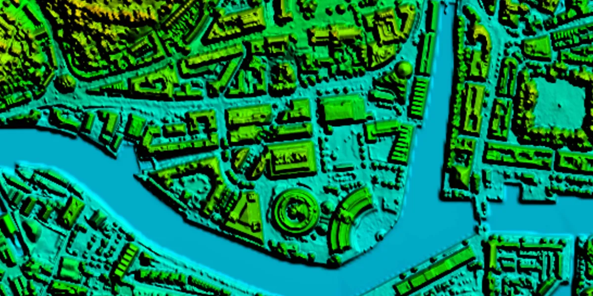
Bluesky provides digital surface models (DSM) and digital terrain models (DTM) generated from Bluesky Aerial imagery over the UK.

| Data product | Model | Order link |
|---|---|---|
| DSM 25 cm | DSM API name and ID: Not integrated | |
| DSM 2 m | DSM API name and ID: Not integrated | |
| DTM 5 m | DTM API name and ID: Not integrated |
| Specification | Description |
|---|---|
| Provider | Bluesky |
| Collection type | Catalog from 1,800 credits per km2 |
| Product type | Elevation |
| System type | Aerial |
| Specification | Description |
|---|---|
| Resolution | Product-dependent:
|
| Data source | Bluesky Aerial |
| Specification | Description |
|---|---|
| Coordinate reference system | British National Grid |
| Positional accuracy | Horizontal: 1 m RMSE absolute Vertical: 1.5 m RMSE absolute |
| Specification | Description |
|---|---|
| Limitations | Input: AOI Availability: From 2022 Output: AOI-clipped imagery |
| Minimum charge | Varies based on chosen data product and resolution |
The geographic coverage is over the UK.