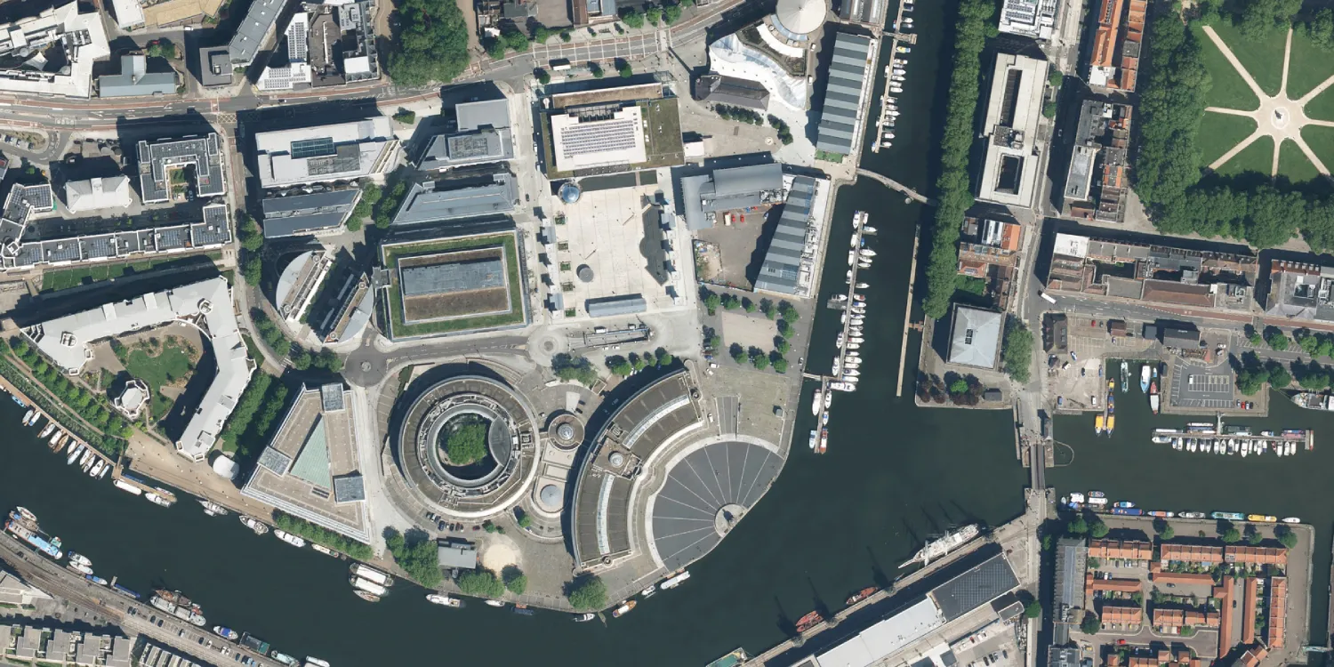
Bluesky provides very high resolution multispectral aerial imagery acquired over the UK.

| Data product | Spectral bands combination | Order link |
|---|---|---|
| True Color | 3-band: Multispectral true color (RGB) API name and ID: Not integrated | |
| Color Infrared | 3-band: Multispectral false color (RG and NIR) API name and ID: Not integrated | |
| Multispectral | 4-band: Multispectral (RGB and NIR) API name and ID: Not integrated |
| Specification | Description |
|---|---|
| Provider | Bluesky |
| Collection type | Catalog from 800 credits per km2 |
| Product type | Multispectral |
| System type | Aerial |
| Specification | Description |
|---|---|
| Resolution | True Color and Multispectral:
Color Infrared: 50 cm |
| Primary | Georectified | Orthorectified | |
|---|---|---|---|
| Basic | |||
| TOA | |||
| Surface reflectance | |||
| Display |
|
*Upon request.
| Specification | Description |
|---|---|
| Acquisition mode | Mono |
| Specification | Description |
|---|---|
| Spectral bands | Multispectral:
|
| Specification | Description |
|---|---|
| Coordinate reference system | British National Grid |
| Positional accuracy | 1 m RMSE absolute |
| Specification | Description |
|---|---|
| Limitations | Input: AOI Availability: From 1999 Output: AOI-clipped imagery |
| Minimum charge | Varies based on chosen data product and resolution |
The geographic coverage is over the UK.