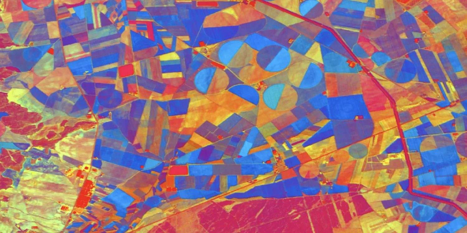
Dragonette-1 images are acquired by a medium resolution hyperspectral satellite every 2 days anywhere on the globe.

| Data product | Spectral bands combination | Order link |
|---|---|---|
| Custom | Hyperspectral bundle: 23 hyperspectral bands (RG, yellow, red edge, and NIR) API name and ID:dragonette-1-tasking | 3749ee16-5518-4399-b413-55528ac75254 |
| Data product | Spectral bands combination | Order link |
|---|---|---|
| Level 1B | Bundle: 1 panchromatic and 23 multispectral bands (RG, yellow, red edge, and NIR) API name and ID: Not integrated |
| Specification | Description |
|---|---|
| Provider | Wyvern |
| Collection type | Tasking from 800 credits per km2 Catalog from 49,000 credits per scene |
| Product type | Hyperspectral |
| System type | Satellite |
| Specification | Description |
|---|---|
| Resolution | 5.30 m |
| Bit depth per pixel | Acquired as 12-bit and delivered as 32-bit in imagery |
| Delivery format | A ZIP file containing the following files:
|
| Masks | Cloud Quality Transparency |
| NoData value | -9,999 |
*Upon request.
| Specification | Description |
|---|---|
| Acquisition mode | Mono |
| Incidence angle | From 0° to 20° |
| Off-nadir angle | From 0° to 20° |
| Tasking priority | Standard |
| Orbit | Sun-synchronous, at 500 km |
| Number of satellites | 1 |
| Revisit rate | Every 2 days |
| Swath width | 20 km |
| Specification | Description |
|---|---|
| Spectral bands | Green:
Yellow:
Red:
Red edge:
Near-infrared: 768–832 nm |
| Specification | Description |
|---|---|
| Coordinate reference system | Geographic-WGS84 |
| Positional accuracy | Location-dependent, from 25 m to 100 m CE90 absolute |
| Specification | Description |
|---|---|
| Limitations | Input: AOI at least 5 km wide Cloud coverage: 20–100% Output: AOI-clipped imagery |
| Minimum charge | As per 100 km2 |
| Specification | Description |
|---|---|
| Limitations | Input: AOI at least 5 km wide Availability: From 2023 Output: 20 km × 20 km scene |
| Minimum charge | As per 400 km2 |
The geographic coverage is global.