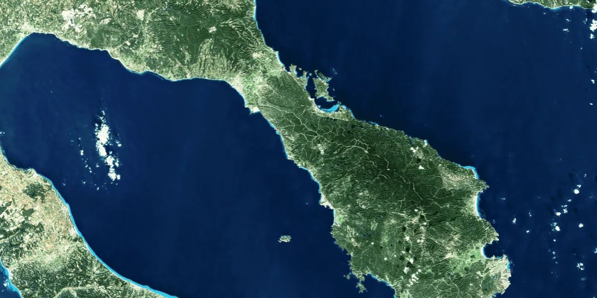
Sentinel-2 is an Earth observation mission from the Copernicus programme of the European Space Agency. It provides free imagery acquired by the Sentinel-2A, Sentinel-2B, and Sentinel-2C anywhere on the globe. The datasets are available starting with 2017.

| Data product | Spectral bands combination | Order link |
|---|---|---|
| Level 2A | 13-band: Multispectral (RGB, deep blue, red edge, NIR, and SWIR) API name and ID:sentinel-2-level-2a | c3de9ed8-f6e5-4bb5-a157-f6430ba756da |
| Specification | Description |
|---|---|
| Provider | European Space Agency |
| Collection type | Catalog is available free of charge |
| Product type | Multispectral |
| System type | Satellite |
| Specification | Description |
|---|---|
| Resolution | Band-dependent:
|
| Bit depth per pixel | Acquired as 12-bit and delivered as 16-bit in imagery |
| Delivery format | A ZIP file containing the following files:
|
| Masks | An SCL GeoTIFF file containing the following masks:
|
| NoData value | 0 |
| Specification | Description |
|---|---|
| Acquisition mode | Mono |
| Orbit | Sun-synchronous, at 786 km |
| Number of satellites | 3 |
| Catalog refresh rate | Every 5 days |
| Specification | Description |
|---|---|
| Spectral bands | 10 m:
20 m:
60 m:
|
| Specification | Description |
|---|---|
| Coordinate reference system | UTM-WGS84 |
| Positional accuracy | 8 m CE95 absolute |
| Specification | Description |
|---|---|
| Limitations | Input: AOI Availability:
Output: 110 km × 110 km scene |
The geographic coverage is global.