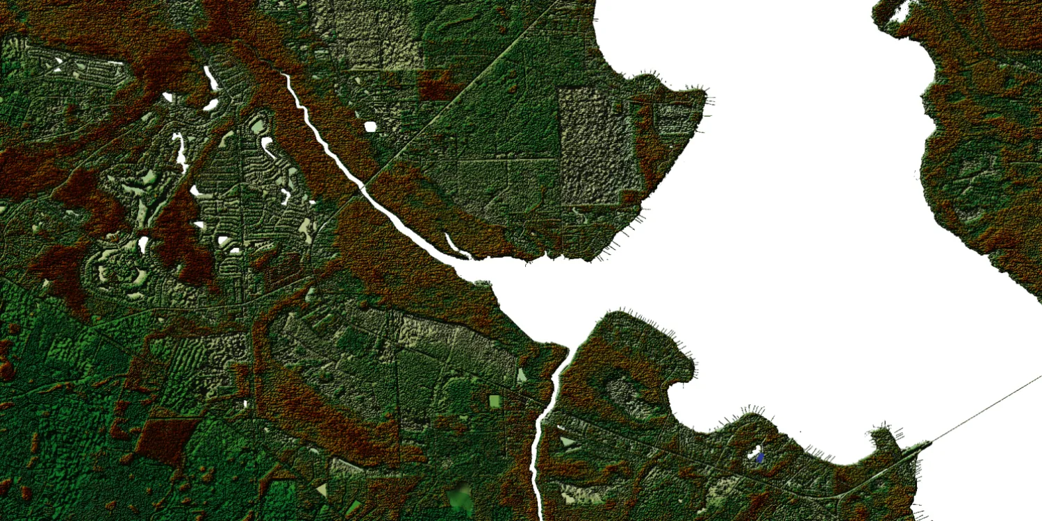
The NEXTMap elevation models are global 3D terrain datasets provided by Intermap.

| Data product | Model | Order link |
|---|---|---|
| NEXTMap One DSM | DSM API name and ID:nextmapone-dsm | 228eb747-2b8b-4f56-8ade-2efd844d3792 | |
| NEXTMap One DSM (Global) | DSM API name and ID: Not integrated | |
| NEXTMap One DTM | DTM API name and ID:nextmapone-dtm | da146ac4-7000-4d59-b488-3633f11b6cb8 | |
| NEXTMap One DTM (Global) | DTM API name and ID: Not integrated | |
| NEXTMap One Bundle | Bundle: DSM and DTM API name and ID:nextmapone-bundle | 776cadc2-ccb7-4ca4-8077-fc679bf8376a | |
| NEXTMap 6 DSM | DSM API name and ID:nextmap6-dsm | 93f2014d-b34e-411a-9688-33e084190b68 | |
| NEXTMap 6 DTM | DTM API name and ID:nextmap6-dtm | 337c01f4-d71a-4f2f-8aee-d21431565893 | |
| NEXTMap 6 DTM (Global) | DTM API name and ID: Not integrated | |
| NEXTMap 6 Bundle | Bundle: DSM and DTM API name and ID:nextmap6-bundle | ca213436-c8cf-42a9-a4a2-04eb2fa7c9d6 | |
| NEXTMap 10 DSM | DSM API name and ID:nextmap10-dsm | 5a484ba9-b2b9-4385-a066-0f6d28f6ad8f | |
| NEXTMap 10 DTM | DTM API name and ID:nextmap10-dtm | 5908c45d-dd41-4fd2-b38f-759f23d25ebf | |
| NEXTMap 10 Bundle | Bundle: DSM and DTM API name and ID:nextmap10-bundle | 0253307a-0377-4cd4-bd1c-93ec06ba7f4a |
| Specification | Description |
|---|---|
| Provider | Intermap |
| Collection type | Catalog from 86 credits per km2 |
| Product type | Elevation |
| System type | Aerial |
| Specification | Description |
|---|---|
| Resolution | Product-dependent:
|
| Bit depth per pixel | 32-bit |
| Delivery format | A ZIP file containing the data (GeoTIFF) |
| Masks | Transparency |
| NoData value | -32,767 |
| Hydro-flattening | Oceans: Set to 0 m Lakes: Set to a single elevation value Rivers: Flattened in steps of 50 cm |
| Data source | SAR and lidar |
| Specification | Description |
|---|---|
| Coordinate reference system | NEXTMap One: Geographic-WGS84 with EGM2008 height NEXTMap 6: Geographic-WGS84 with EGM2008 height NEXTMap 10: Geographic-WGS84 with EGM96 height |
| Positional accuracy | NEXTMap One:
NEXTMap 6:
NEXTMap 10:
|
| Specification | Description |
|---|---|
| Limitations | Input: AOI up to 250 km2 (maximum bounding area: 1,000 km2) Availability: From 2020 Output: AOI-clipped imagery |