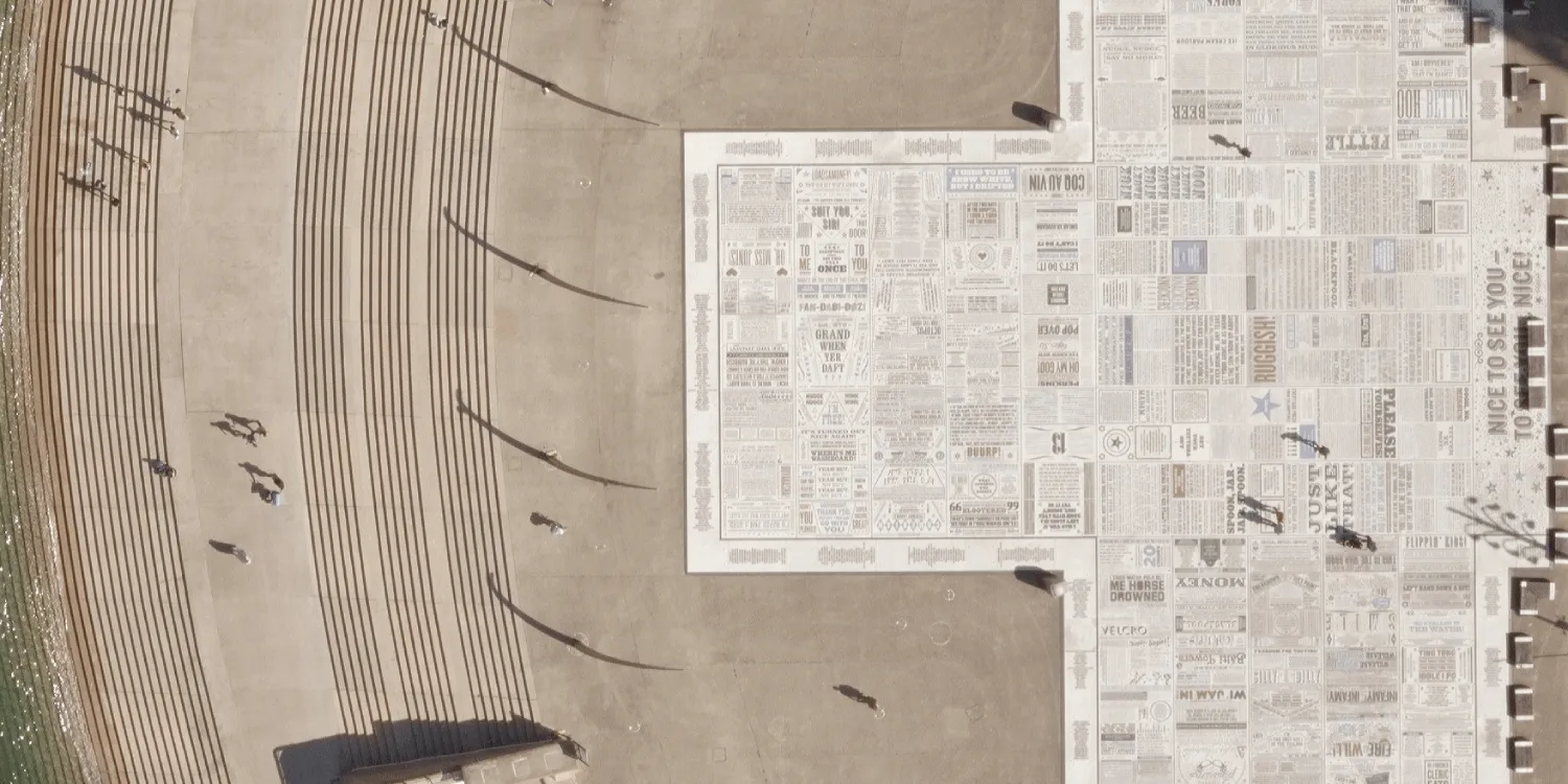
Getmapping provides very high resolution multispectral aerial imagery acquired over the UK.

| Data product | Spectral bands combination | Order link |
|---|---|---|
| CityView | 3-band: Multispectral true color (RGB) API name and ID: Not integrated | |
| NationalView | 3-band: Multispectral true color (RGB) API name and ID: Not integrated |
| Specification | Description |
|---|---|
| Provider | Getmapping |
| Collection type | Catalog from 2,300 credits per km2 |
| Product type | Multispectral |
| System type | Aerial |
| Specification | Description |
|---|---|
| Resolution | CityView: 5 cm NationalView:
|
| Primary | Georectified | Orthorectified | |
|---|---|---|---|
| Basic | |||
| TOA | |||
| Surface reflectance | |||
| Display |
|
*Upon request.
| Specification | Description |
|---|---|
| Acquisition mode | Mono |
| Specification | Description |
|---|---|
| Spectral bands | RGB |
| Specification | Description |
|---|---|
| Limitations | Input: AOI Availability:
Output: AOI-clipped imagery |
The geographic coverage is over the UK.