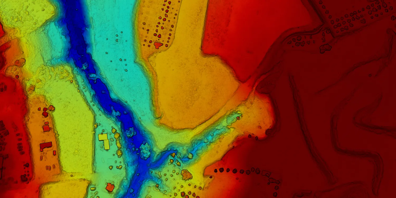
Globhe provides digital surface models (DSM) and digital terrain models (DTM) anywhere on the globe.

| Data product | Model | Order link |
|---|---|---|
| Custom | DSM API name and ID: Not integrated | |
| Custom | DTM API name and ID: Not integrated |
| Data product | Model | Order link |
|---|---|---|
| DSM | DSM API name and ID: Not integrated | |
| DTM | DTM API name and ID: Not integrated |
| Specification | Description |
|---|---|
| Provider | Globhe |
| Collection type | Tasking varies by configuration Catalog varies by configuration |
| Product type | Elevation |
| System type | Drone |
| Specification | Description |
|---|---|
| Resolution | 1 cm |
| Data source | Globhe Optical and lidar |
| Specification | Description |
|---|---|
| Tasking priority | Standard |
| Revisit rate | Daily |
| Specification | Description |
|---|---|
| Positional accuracy | With GCPs: < 10 cm absolute |
| Specification | Description |
|---|---|
| Limitations | Input: AOI Output: AOI-clipped imagery |
| Minimum charge | As per 1 km2 |
| Specification | Description |
|---|---|
| Limitations | Input: AOI Availability: From 2020 Output: AOI-clipped imagery |
| Minimum charge | As per 1 km2 |
The geographic coverage is global. See the list of countries where Globhe operates.