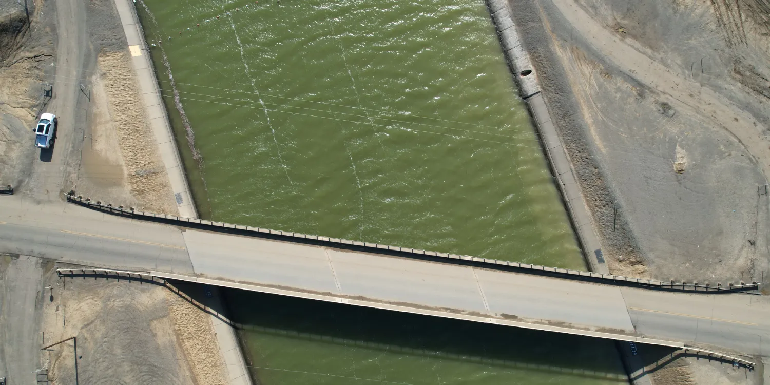
Globhe provides very high-resolution multispectral drone imagery anywhere on the globe.

| Data product | Spectral bands combination | Order link |
|---|---|---|
| Custom | 3-band: Multispectral true color (RGB) API name and ID: Not integrated |
| Data product | Spectral bands combination | Order link |
|---|---|---|
| RBG | 3-band: Multispectral true color (RGB) API name and ID: Not integrated |
| Specification | Description |
|---|---|
| Provider | Globhe |
| Collection type | Tasking varies by configuration Catalog varies by configuration |
| Product type | Multispectral |
| System type | Drone |
| Specification | Description |
|---|---|
| Resolution | 1 cm |
| Masks | Transparency |
| NoData value | 0 |
*Upon request.
| Specification | Description |
|---|---|
| Acquisition mode | Mono |
| Tasking priority | Standard |
| Revisit rate | Daily |
| Specification | Description |
|---|---|
| Spectral bands | RGB |
| Specification | Description |
|---|---|
| Positional accuracy | With GCPs: < 10 cm absolute |
| Specification | Description |
|---|---|
| Limitations | Input: AOI Output: AOI-clipped imagery |
| Minimum charge | As per 1 km2 |
| Specification | Description |
|---|---|
| Limitations | Input: AOI Availability: From 2020 Output: AOI-clipped imagery |
| Minimum charge | As per 1 km2 |
The geographic coverage is global. See the list of countries where Globhe operates.