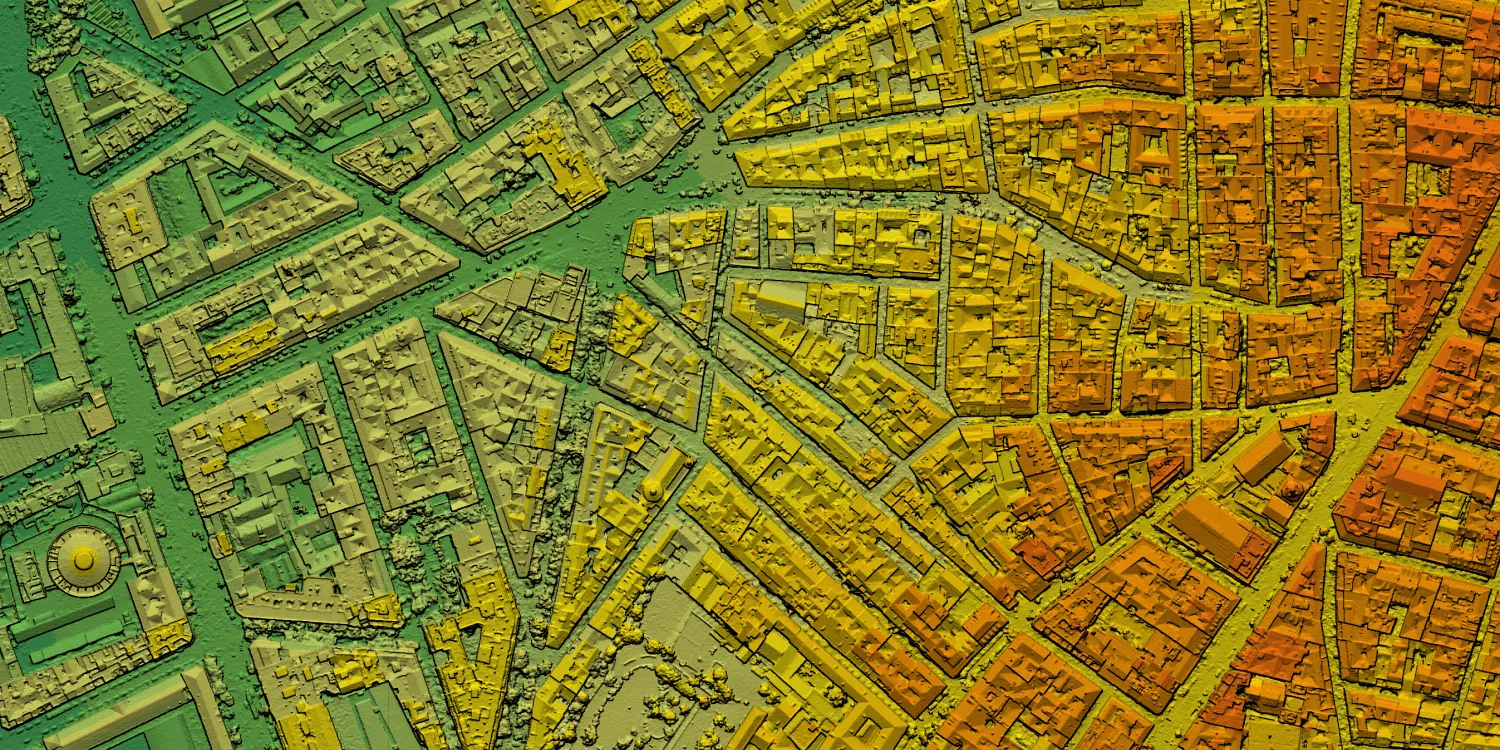
Vexcel Elevate are global 3D terrain datasets of areas in the USA and Canada, in Western and Eastern Europe, and in Oceania. These datasets are collected simultaneously, resulting in a pixel-to-pixel match between the aerial image and elevation data for more accurate calculations.

| Data product | Model | Order link |
|---|---|---|
| Vexcel Elevate — DSM 5.5 cm | DSM API name and ID:vexcel-elevate-dsm-6cm | de84dac9-4e3e-45de-a7e9-4186091d6905 | |
| Vexcel Elevate — DSM 15 cm | DSM API name and ID:vexcel-elevate-dsm-15cm | 4fa865bc-f78e-47df-aad7-ed730a9f470e | |
| Vexcel Elevate — DTM 15 cm | DTM API name and ID:vexcel-elevate-dtm-15cm | d28f2b14-b8c2-4b3c-b184-11334933eeb2 |
| Specification | Description |
|---|---|
| Provider | Vexcel |
| Collection type | Catalog from 4,500 credits per km2 |
| Product type | Elevation |
| System type | Aerial |
| Specification | Description |
|---|---|
| Resolution | DSM 5.5 cm: 5.5 cm DSM 15 cm: 15 cm DTM 15 cm: 15 cm |
| Bit depth per pixel | 32-bit |
| Delivery format | A ZIP file containing data (GeoTIFF) |
| Masks | Transparency |
| NoData value | -9,999 |
| Hydro-flattening | None |
| Data source | Vexcel Aerial |
| Specification | Description |
|---|---|
| Coordinate reference system | Projected-WGS84 with EGM2008 height |
| Positional accuracy | From 5.5 to 7.5 cm: 15 cm RMSEx/y/z absolute From 15 to 20 cm: 1 m RMSEx/y/z absolute |
| Specification | Description |
|---|---|
| Limitations | Input: AOI up to 50 km2 Availability: From 2018 Output: AOI-clipped imagery |
| Minimum charge | As per 0.25 km2 |