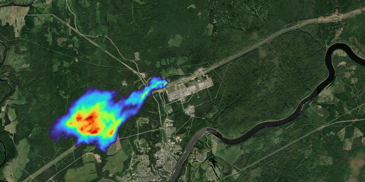
GHGSat provides low resolution short-wave infrared imagery and detected greenhouse gas concentrations anywhere on the globe.

| Data product | Spectral bands combination | Order link |
|---|---|---|
| GHGSat Tasking | 1-band: Short-wave infrared API name and ID: Not integrated |
| Data product | Spectral bands combination | Order link |
|---|---|---|
| GHGSat Catalog | 1-band: Short-wave infrared API name and ID: Not integrated |
| Specification | Description |
|---|---|
| Provider | GHGSat |
| Collection type | Tasking from 443,500 credits per scene Catalog from 554,400 credits per scene |
| Product type | Multispectral |
| System type | Satellite |
| Specification | Description |
|---|---|
| Resolution | 25 m |
| Specification | Description |
|---|---|
| Acquisition mode | Mono |
| Tasking priority | Standard |
| Orbit | Sun-synchronous, at 500 km |
| Number of satellites | 12 |
| Revisit rate | Every 2 days |
| Swath width | 15 km |
| Specification | Description |
|---|---|
| Spectral bands | 1,600–1,700 nm (short-wave infrared) |
| Specification | Description |
|---|---|
| Coordinate reference system | UTM-WGS84 |
| Positional accuracy | 15.3 m CE90 absolute |
| Specification | Description |
|---|---|
| Limitations | Cloud coverage: 0–75%, not selectable Output: 12 km × 12 km scene |
| Specification | Description |
|---|---|
| Limitations | Availability: From 2016 Output: 12 km × 12 km scene |
The geographic coverage is global.