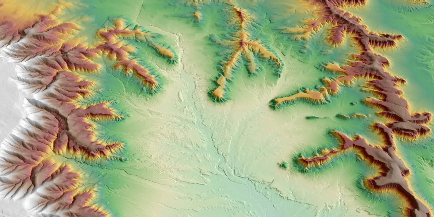
WorldDEM4Ortho provides a hybrid digital elevation model optimized for orthorectification, with a resolution of 0.8 arc seconds or approximately 24 m. The datasets are available from 2010 to 2015.

| Data product | Model | Order link |
|---|---|---|
| WorldDEM4Ortho | Hybrid API name and ID:worlddem-4ortho | 65369437-b35e-47bb-9983-370aad09bfeb |
| Specification | Description |
|---|---|
| Provider | Airbus |
| Collection type | Catalog from 200 credits per km2 |
| Product type | Elevation |
| System type | Satellite |
| Specification | Description |
|---|---|
| Resolution | 24 m |
| Bit depth per pixel | 32-bit |
| Delivery format | A ZIP file containing the following files:
|
| Masks | Transparency |
| NoData value | -32,767 |
| Data source | TerraSAR‑X |
| Specification | Description |
|---|---|
| Coordinate reference system | Geographic-WGS84 with EGM2008 height |
| Positional accuracy | Horizontal: 6 m CE90 absolute Vertical:
|
| Specification | Description |
|---|---|
| Limitations | Input: AOI from 1 up to 250 km2 Availability: From 2010 to 2015 Output: AOI-clipped imagery |
| Minimum charge | As per 1 km2 |