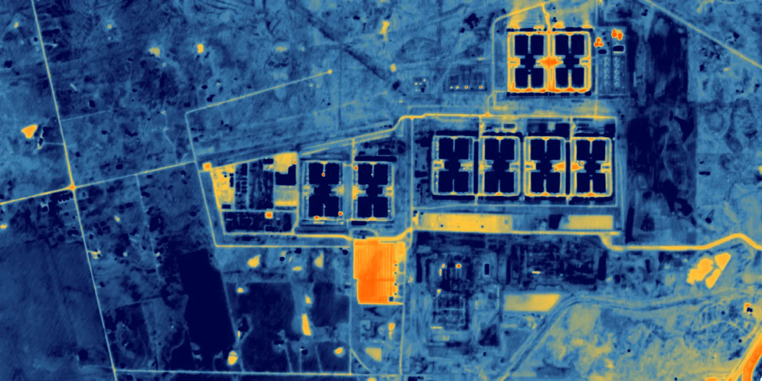
SatVu provides medium resolution thermal infrared imagery acquired by the HotSat constellation, acquired every day anywhere on the globe. Catalog datasets are available starting from 2026.
-
HotSat Tasking Order now A non-integrated data product.
BAND COMBINATIONS
Bundle of the following:
- Surface brightness temperature (SBT) data
- 1-band: Thermal infrared (Basic Primary)
-
HotSat Catalog Order now A non-integrated data product.
BAND COMBINATIONS
Bundle of the following:
- Surface brightness temperature (SBT) data
- 1-band: Thermal infrared (Basic Primary)
| Specification | Description |
|---|---|
| Provider | SatVu |
| Collection type | Tasking from 113,700 credits per scene Catalog from 56,900 credits per scene |
| Product type | Multispectral |
| System type | Satellite |
| Specification | Description |
|---|---|
| Resolution | 3.5 m |
| Bit depth per pixel | Basic Primary: 14‑bit SBT: 32‑bit |
| Masks | Cloud Quality Transparency |
The ordered data will include all available processing levels.
| Primary | Georectified | Orthorectified | |
|---|---|---|---|
| Basic | with RPC* |  | |
| TOA | | | |
| Surface reflectance | | |  * * |
| Display | | | |
| Primary | Georectified | Orthorectified | |
|---|---|---|---|
| Basic | Basic Primary* with RPC | | |
| TOA | | | |
| Surface reflectance | | | SBT* |
| Display | | | |
*Upon request.
| Specification | Description |
|---|---|
| Acquisition mode | Mono |
| Off-nadir angle | From 0° to 45° |
| Tasking priority | Standard High |
| Orbit | Sun-synchronous, at 500 km |
| Revisit rate | Daily |
| Specification | Description |
|---|---|
| Spectral bands | Day time mode: 4,325–4,950 nm (thermal infrared) Night time mode: 3,700–4,950 nm (thermal infrared) |
| Specification | Description |
|---|---|
| Coordinate reference system | UTM-WGS84 |
| Positional accuracy | Basic Primary: ≤ 200 m CE90 SBT: ≤ 15 m CE90 |
| Specification | Description |
|---|---|
| Limitations | Input: POI Cloud coverage, depending on the priority:
Output: Scenes of a certain size intersecting the defined POI:
|
| Minimum charge | As per 1 scene |
| Specification | Description |
|---|---|
| Limitations | Input: AOI Availability: From 2026 Output: 4.5 km × 3.5 km scene |
| Minimum charge | As per 1 scene |
The geographic coverage is global.