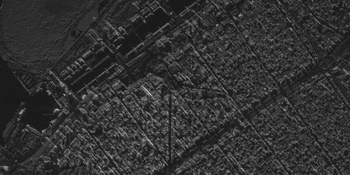
Umbra is a constellation of microsatellites equipped with an X-band and capturing SAR imagery in 25 cm, 35 cm, 50 cm, and 1 m azimuth resolutions.

| Data product | Spectral bands combination | Order link |
|---|---|---|
| Custom | X-band API name and ID:umbra-tasking | fe2d291a-d065-481e-a083-aa2c7b901be8 |
| Specification | Description |
|---|---|
| Provider | Umbra |
| Collection type | Tasking from 73,400 credits per scene |
| Product type | SAR |
| System type | Satellite |
| Specification | Description |
|---|---|
| Azimuth resolution | 25 cm 35 cm 50 cm 1 m |
| Ground range resolution | From 25 cm to 1 m |
| Bit depth per pixel | 8-bit |
| Delivery format | A ZIP file containing the following files:
|
| Masks | Transparency |
| NoData value | 0 |
The ordered tasking data will include all processing levels.
| Specification | Description |
|---|---|
| Acquisition mode | Spot |
| Incidence angle | 25 cm resolution: 45° 35 cm resolution: 41° 55 cm resolution: 47° 1 m resolution: 57° |
| Number of looks | 1-look 2-look 3-look |
| Slant range resolution | From 35 cm to 1 m |
| Orbit | Sun-synchronous, at 450–600 km |
| Orbit direction | Ascending Descending |
| Number of satellites | 5 |
| Tasking priority | Standard |
| Polarization | Single: HH, VV |
| Revisit rate | 4 times a day |
| Swath width | 4 km |
| Specification | Description |
|---|---|
| Frequency | X-band: 9.6 or 9.8 GHz |
| Specification | Description |
|---|---|
| Coordinate reference system | UTM-WGS84 |
| Positional accuracy | 8 m CE90 absolute |
| Specification | Description |
|---|---|
| Limitations | Input: POI Output: Scenes of a certain size intersecting the defined POI:
Within natural footprints, only the central 5 km × 5 km area maintains the selected resolution, while the surrounding areas might have artifacts that reduce quality. |
| Minimum charge | As per 1 scene |