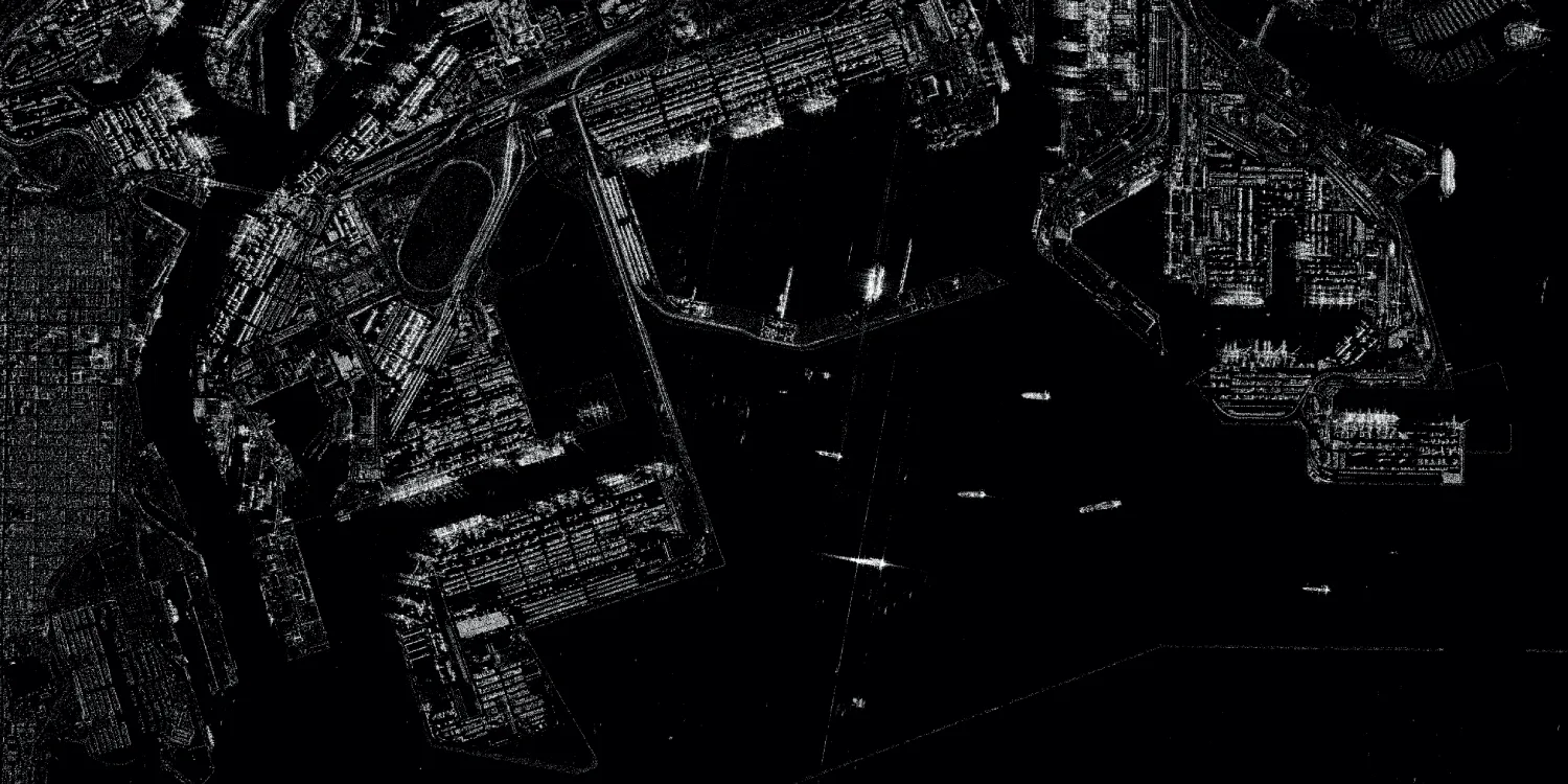
KOMPSAT-5 provides SAR imagery that can be captured every 4 days.

| Data product | Spectral bands combination | Order link |
|---|---|---|
| Custom | X-band API name and ID:kompsat5-tasking | d3eb1e5b-1cc4-4ff8-be01-9ad558edd09f |
| Data product | Spectral bands combination | Order link |
|---|---|---|
| KOMPSAT-5 Catalog | X-band API name and ID: Not integrated |
| Specification | Description |
|---|---|
| Provider | SIIS |
| Collection type | Tasking from 134,000 credits per scene Catalog from 38,322 credits per scene |
| Product type | SAR |
| System type | Satellite |
| Specification | Description |
|---|---|
| Azimuth resolution | Spot (standard): 1 m Spot (enhanced): 1 m Spot (ultra): 85 cm Strip (standard): 3 m Strip (enhanced): 2.50 m Scan (standard): 20 m Scan (enhanced): 20 m |
| Ground range resolution | Spot (standard): Up to 1 m Spot (enhanced): Up to 1 m Spot (ultra): Up to 85 cm Strip (standard): Up to 3 m Strip (enhanced): Up to 2.50 m Scan (standard): Up to 20 m Scan (enhanced):
|
| Bit depth per pixel | 16-bit |
| Delivery format | A ZIP file containing the following files:
|
| Masks | Quality ROI Transparency |
| NoData value | 0 |
| Data source | KOMPSAT-5 |
| Specification | Description |
|---|---|
| Acquisition mode | Spot (standard) Spot (enhanced) Spot (ultra) Strip (standard) Strip (enhanced) Scan (standard) Scan (enhanced) |
| Incidence angle | Mode-dependent, from 20° to 55° |
| Tasking priority | Standard High |
| Orbit | Sun-synchronous, at 550 km |
| Orbit direction | Ascending Descending Both |
| Number of satellites | 1 |
| Polarization | Single: HH, VV Cross: HV, VH |
| Revisit rate | Every 4 days |
| Specification | Description |
|---|---|
| Frequency | X-band: 9.66 GHz |
| Specification | Description |
|---|---|
| Coordinate reference system | UTM-WGS84 |
| Positional accuracy | 6.22 m CE90 absolute |
| Specification | Description |
|---|---|
| Limitations | Input: AOI Output: Scenes of a certain size intersecting the defined AOI:
|
| Minimum charge | As per 1 scene |
| Specification | Description |
|---|---|
| Limitations | Input: AOI Availability: From 2013 Output: Scenes of a certain size intersecting the defined AOI:
|
| Minimum charge | As per 1 scene |
The geographic coverage is global.