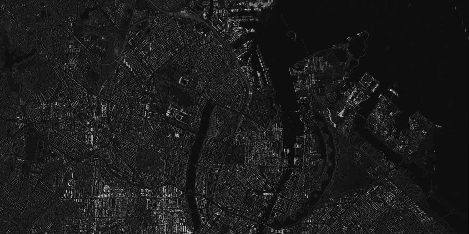
StriX provides SAR imagery acquired by a constellation of very high resolution satellites daily anywhere on the globe.

| Data product | Spectral bands combination | Order link |
|---|---|---|
| Custom | X-band API name and ID: Not integrated |
| Data product | Spectral bands combination | Order link |
|---|---|---|
| StriX Catalog | X-band API name and ID: Not integrated |
| Specification | Description |
|---|---|
| Provider | Synspective |
| Collection type | Tasking from 130,000 credits per scene Catalog from 43,000 credits per scene |
| Product type | SAR |
| System type | Satellite |
| Specification | Description |
|---|---|
| Azimuth resolution | Spot: 25 cm or 50 cm Site: 50 cm or 90 cm Strip: 2.60 m |
| Ground range resolution | Spot: 23 cm or 50 cm Site: 46 cm or 90 cm Strip: 2.60 m |
| Masks | Transparency |
| NoData value | 0 |
*Upon request.
| Specification | Description |
|---|---|
| Acquisition mode | Spot Site Strip |
| Incidence angle | From 15° to 45° |
| Slant range resolution | Spot: 23 cm or 50 cm Site: 23 cm or 50 cm Strip: 1.80 m |
| Tasking priority | Standard |
| Orbit | Sun-synchronous, at 550–561 km |
| Number of satellites | 5 |
| Polarization | Single: VV |
| Revisit rate | 2 times a day |
| Specification | Description |
|---|---|
| Frequency | X-band: 9.60 or 9.65 GHz |
| Specification | Description |
|---|---|
| Coordinate reference system | Geographic-WGS84 |
| Specification | Description |
|---|---|
| Limitations | Input: AOI Output: Scenes of a certain size intersecting the defined AOI:
|
| Minimum charge | As per 1 scene |
| Specification | Description |
|---|---|
| Limitations | Input: AOI Availability: From 2020 Output: Scenes of a certain size intersecting the defined AOI:
|
| Minimum charge | As per 1 scene |
The geographic coverage is global.