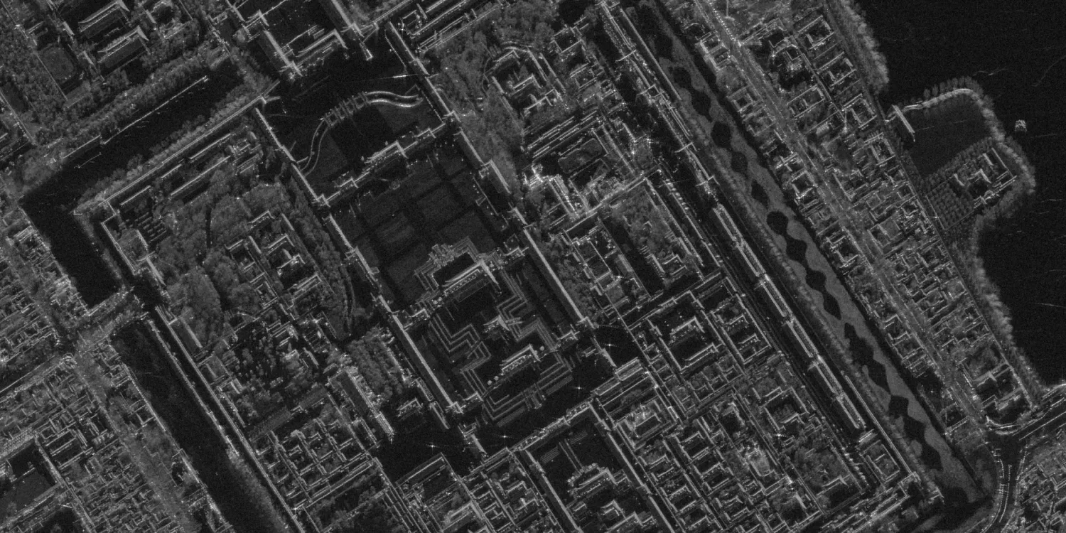
Capella Space imagery is acquired by 7 very high and high resolution radar satellites on an intraday basis anywhere on the globe. The datasets are available starting from 2020.

| Data product | Spectral bands combination | Order link |
|---|---|---|
| Custom | X-band API name and ID:capella-tasking | 83e21b35-e431-43a0-a1c4-22a6ad313911 |
| Data product | Spectral bands combination | Order link |
|---|---|---|
| SLC | X-band API name and ID:capella-slc-full-scene | 1f2b0d7f-d3e2-4b3d-96b7-e7c184df7952 | |
| GEC | X-band API name and ID:capella-gec-full-scene | 96072809-d820-4cf9-86dd-d3bff3337c35 | |
| GEO | X-band API name and ID:capella-geo-full-scene | d66facaa-533f-49a2-849a-c2910ac9dd31 | |
| SICD | X-band API name and ID:capella-sicd-full-scene | 8b0aed07-c565-4bf9-b719-401e692de4a6 |
| Specification | Description |
|---|---|
| Provider | Capella Space |
| Collection type | Tasking from 84,500 credits per scene Catalog from 120,000 credits per scene |
| Product type | SAR |
| System type | Satellite |
| Specification | Description |
|---|---|
| Azimuth resolution | Spot (ultra)*: 25 cm Spot (standard): 50 cm Site: 1 m Strip: 1.20 m |
| Ground range resolution | Spot (ultra)*: 38 cm–1.34 cm Spot (standard): 38 cm–1.34 cm Site: 76 cm–2.23 m Strip: 1.13 m–3.37 m |
| Bit depth per pixel | Complex: 16-bit Geocoded: 32-bit |
| Delivery format | A ZIP file containing the following files:
|
| Masks | Transparency |
| NoData value | 0 |
*Upon request.
| Specification | Description |
|---|---|
| Acquisition mode | Spot (ultra)* Spot (standard) Site Strip |
| Incidence angle | From 25° to 50° |
| Slant range resolution | Spot (ultra)*: 25 cm or 30 cm Spot (standard): 25 cm or 30 cm Site: 50 cm Strip: 75 cm |
| Tasking priority | Standard |
| Orbit | Mid-inclination, from 44° to 53°, at 590–647 km |
| Orbit direction | Ascending Descending |
| Number of satellites | 6 |
| Polarization | Single: HH, VV |
| Revisit rate | 5 times a day |
*Upon request.
| Specification | Description |
|---|---|
| Frequency | X-band: 9.4–9.9 GHz |
| Specification | Description |
|---|---|
| Coordinate reference system | Complex: Geographic-WGS84 Geocoded: UTM-WGS84 |
| Specification | Description |
|---|---|
| Limitations | Input: POI Output: Scenes of a certain size intersecting the defined POI:
|
| Minimum charge | As per 1 scene |
| Specification | Description |
|---|---|
| Limitations | Input: AOI Availability: From 2020 Output: Scenes of a certain size intersecting the defined AOI:
|
| Minimum charge | As per 1 scene |
The geographic coverage is global.