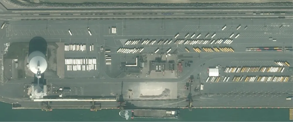
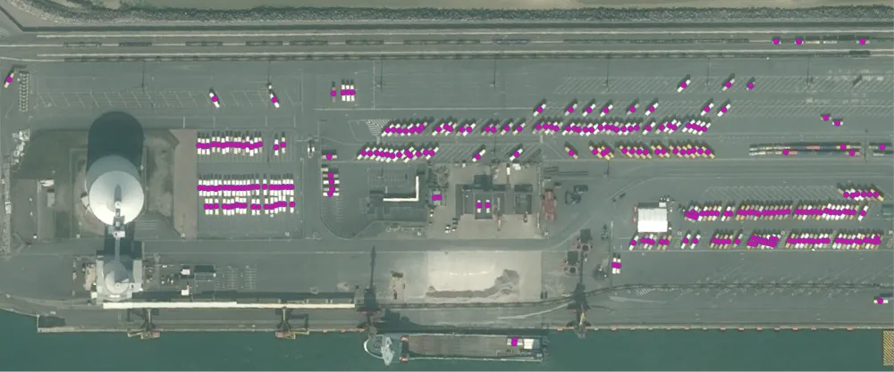
The algorithm uses object detection in Pléiades display imagery to detect and quanitfy trucks. The result is a GeoJSON file with points drawn on detected trucks.
Truck detection can be used for supply chain and logistics management, traffic management, and urban planning.
| Specification | Description |
|---|---|
| Provider | Orbital Insight |
| Process type | Analytics from 300 credits per km2 |
The algorithm has been developed using 50,000 images in 50 countries spanning 6 continents.
Scenarios represented in the training data:
- Different times of day
- Different times of year
- Different terrains
- Different object configurations
Input data items must be added to storage in 2023 or later.
| Collection | Data product |
|---|---|
| Pléiades | Catalog: Display |
Use the detection-trucks-oi name ID for the processing API.
A sample input payload for the process
{ "inputs": { "title": "Processing imagery over Berlin", "item": "https://api.up42.com/v2/assets/stac/collections/21c0b14e-3434-4675-98d1-f225507ded99/items/23e4567-e89b-12d3-a456-426614174000" }}| Parameter | Overview |
|---|---|
inputs.title | string | required The title of the output data item. |
inputs.item | string | required The absolute API path to the input data item. |