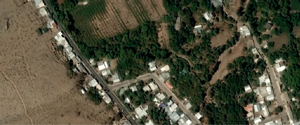
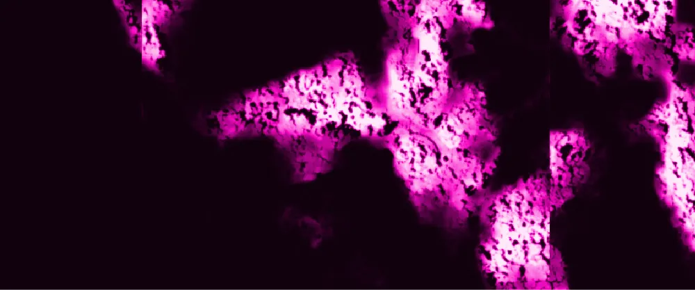
The algorithm tiles the input imagery and identifies all pixels that are part of a tree in SPOT, Pléiades, or Pléiades Neo display imagery. The result is a GeoTIFF file that maps the probability of each pixel being part of a tree.
Tree detection can be used for infrastructure vegetation risk monitoring, urban planning, and construction.
| Specification | Description |
|---|---|
| Provider | Spacept |
| Process type | Analytics from 840 credits per km2 |
The algorithm has been developed using tens of thousands of semantically annotated images.
The algorithm has achieved an F1 score of 93%. For optimal results, the algorithm must be used to detect medium or large trees in full foliage. You can use it to detect medium or large trees with less foliage, but the results might not be as accurate.
Input data items must be added to storage in 2023 or later.
| Collection | Data product |
|---|---|
| SPOT | Catalog: Display |
| Pléiades | Catalog: Display |
| Pléiades Neo | Catalog: Display |
Use the detection-trees-spacept name ID for the processing API.
A sample input payload for the process
{ "inputs": { "title": "Processing imagery over Berlin", "item": "https://api.up42.com/v2/assets/stac/collections/21c0b14e-3434-4675-98d1-f225507ded99/items/23e4567-e89b-12d3-a456-426614174000" }}| Parameter | Overview |
|---|---|
inputs.title | string | required The title of the output data item. |
inputs.item | string | required The absolute API path to the input data item. |