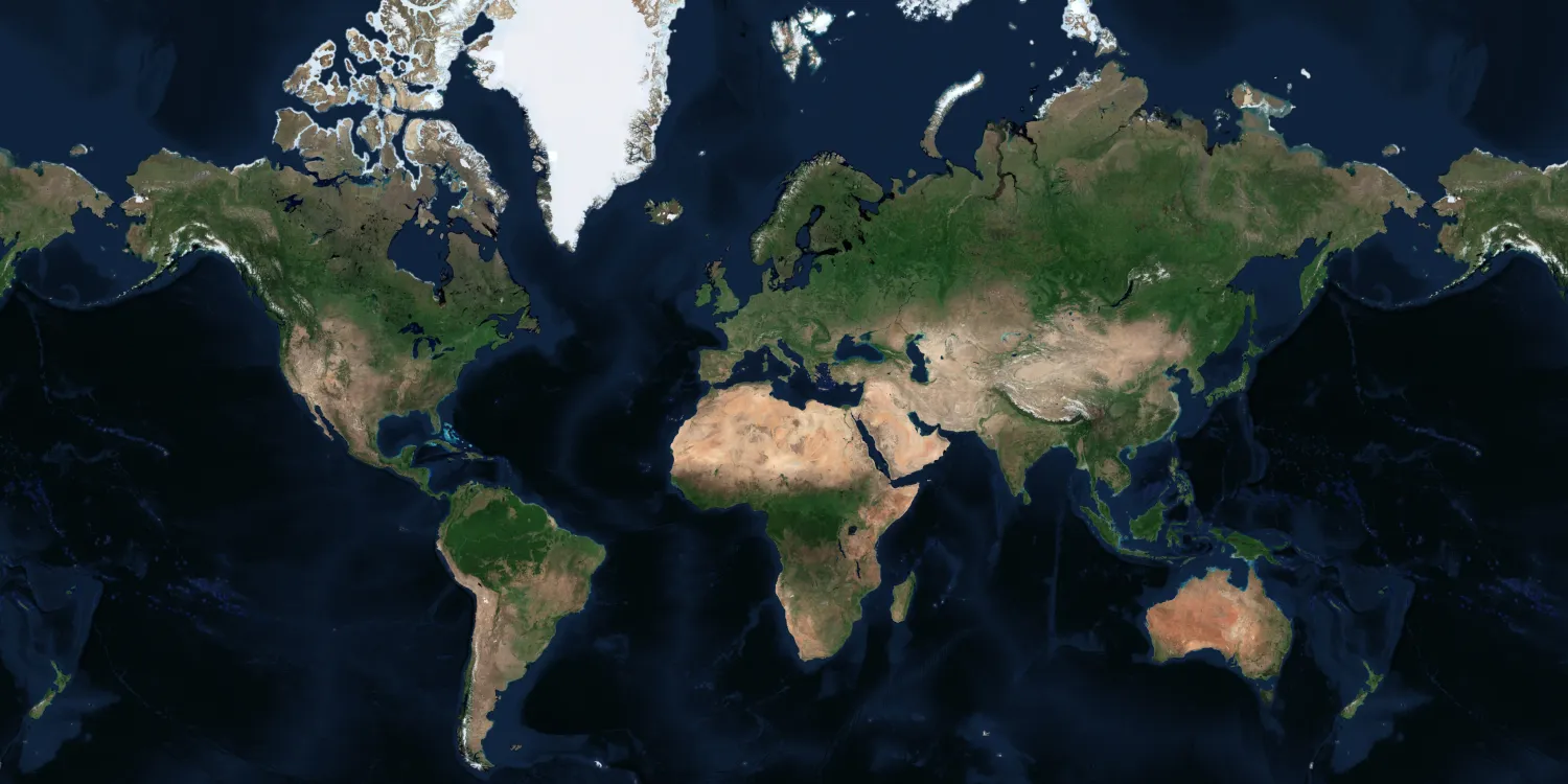
Airbus provides a very high resolution global basemaps that can be used for visualization and simulation solutions.

| Data product | Availability | Order link |
|---|---|---|
| Tailored Basemap | On demand API name and ID: Not integrated | |
| Global Basemap | Off-the-shelf API name and ID: Not integrated |
| Specification | Description |
|---|---|
| Provider | Airbus |
| Collection type | Catalog from 250 credits per km2 |
| Product type | Derived product |
| System type | Satellite |
| Specification | Description |
|---|---|
| Resolution | Tailored Basemap:
Global Basemap:
|
| Data source | Pléiades Neo, Pléiades, and SPOT |
| Specification | Description |
|---|---|
| Spectral bands | RGB |
| Specification | Description |
|---|---|
| Coordinate reference system | Geographic-WGS84 |
| Positional accuracy | ≤ 5 m CE90 absolute |
| Specification | Description |
|---|---|
| Limitations | Input: AOI Availability: From 2012 Output: Tiled imagery |
| Minimum charge | Tailored Basemap 15, 30, or 50 cm: As per 100 km2 Tailored Basemap 1.50 m: As per 1,000 km2 Global Basemap: As per 2,500 km2 |
The geographic coverage is global.