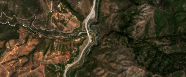
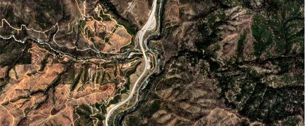
The process upsamples the spatial resolution of the red, green, and blue (RGB) spectral bands in Sentinel‑2 imagery using convolutional neural networks.
The result is a GeoTIFF file with an upsampled spatial resolution of 3.20 m.
Upsampling can be used as a preprocessing step before change detection, vegetation detection, infrastructure detection, fire risk estimation, and land use management.
| Specification | Description |
|---|---|
| Provider | Nara Space |
| Process type | Enhancement from 3 credits per km2 |
Input data items must be added to storage in 2023 or later.
| Collection | Data product |
|---|---|
| Catalog: Level 2A |
Use the upsampling-ns-sentinel name ID for the processing API.
A sample input payload for the process
{ "inputs": { "title": "Processing imagery over Berlin", "item": "https://api.up42.com/v2/assets/stac/collections/21c0b14e-3434-4675-98d1-f225507ded99/items/23e4567-e89b-12d3-a456-426614174000" }}| Parameter | Overview |
|---|---|
inputs.title | string | required The title of the output data item. |
inputs.item | string | required The absolute API path to the input data item. |