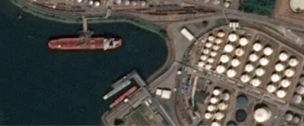
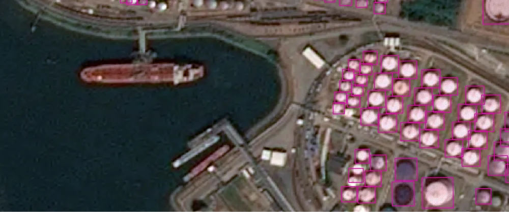
The algorithm uses object detection in SPOT display imagery to detect oil storage tanks. The result is a GeoJSON file with polygons drawn around detected oil storage tanks.
Storage tank detection can be used for oil industry monitoring, infrastructure management, and construction monitoring.
| Specification | Description |
|---|---|
| Provider | Airbus Agrimetrics |
| Process type | Analytics from 150 credits per km2 |
Input data items must be added to storage in 2023 or later.
| Collection | Data product |
|---|---|
| SPOT | Catalog: Display |
Use the detection-storage-tanks-airbus name ID for the processing API.
A sample input payload for the process
{ "inputs": { "title": "Processing imagery over Berlin", "item": "https://api.up42.com/v2/assets/stac/collections/21c0b14e-3434-4675-98d1-f225507ded99/items/23e4567-e89b-12d3-a456-426614174000" }}| Parameter | Overview |
|---|---|
inputs.title | string | required The title of the output data item. |
inputs.item | string | required The absolute API path to the input data item. |