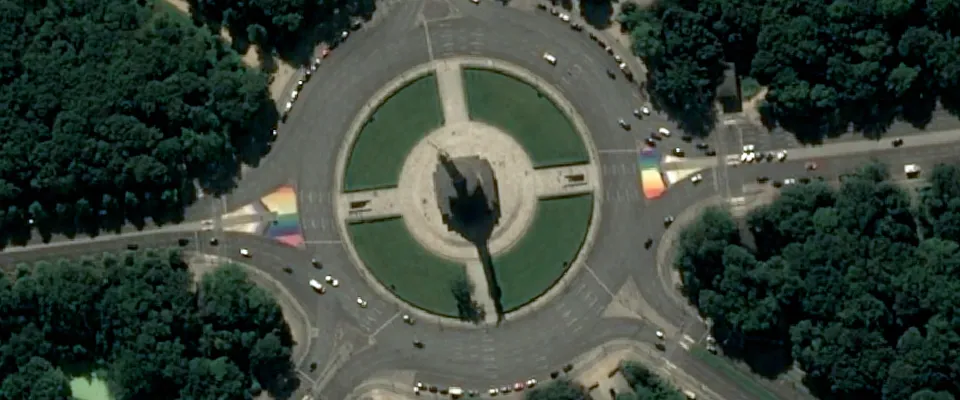
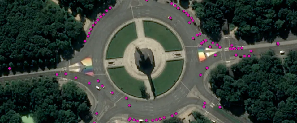
The algorithm uses object detection in Pléiades display imagery to detect and quantify cars. The result is a GeoJSON file with points drawn on detected cars.
Car detection can be used for traffic and parking management, retail analysis, and urban planning.
| Specification | Description |
|---|---|
| Provider | Orbital Insight |
| Process type | Analytics from 300 credits per km2 |
The algorithm has been developed using 180,000 images in 50 countries spanning 6 continents.
For optimal results, the algorithm must be applied to imagery captured over North America and Europe. You can apply it to similar areas, but the results might not be as accurate. The algorithm has limitations when dealing with highly shadowed imagery, imagery containing closely parked vehicles, and desert imagery.
Scenarios represented in the training data:
- Different times of day
- Different times of year
- Different terrains
- Different object configurations
Input data items must be added to storage in 2023 or later.
| Collection | Data product |
|---|---|
| Pléiades | Catalog: Display |
Use the detection-cars-oi name ID for the processing API.
A sample input payload for the process
{ "inputs": { "title": "Processing imagery over Berlin", "item": "https://api.up42.com/v2/assets/stac/collections/21c0b14e-3434-4675-98d1-f225507ded99/items/23e4567-e89b-12d3-a456-426614174000" }}| Parameter | Overview |
|---|---|
inputs.title | string | required The title of the output data item. |
inputs.item | string | required The absolute API path to the input data item. |