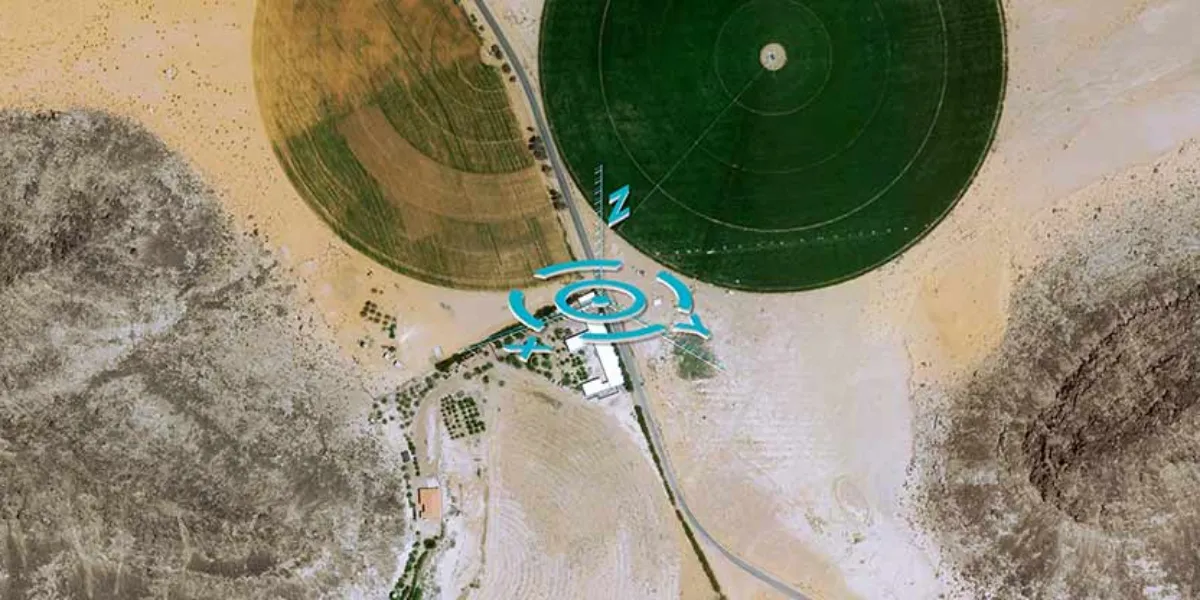
Airbus Space Reference Points (SRPs) are a global reference layer of 2 km2 image chips with an identified 3D center coordinate. They can be used for geospatial data validation, processing, and orthorectification.

| Data product | Number of image chips | Order link |
|---|---|---|
| SRPs | 10 image chips per point API name and ID: Not integrated |
| Specification | Description |
|---|---|
| Provider | Airbus |
| Collection type | Catalog from 1,100 credits per km2 |
| Product type | Derived product |
| System type | Satellite |
| Specification | Description |
|---|---|
| Resolution | 2 m |
| Point density | 1 per 2 km2 |
| Data source | SPOT |
| Specification | Description |
|---|---|
| Positional accuracy | 3 m CE90 |
| Specification | Description |
|---|---|
| Limitations | Input: AOI Availability: From 2023 Output: Image chips |
| Minimum charge | As per 5,000 km2 |
The geographic coverage is global.