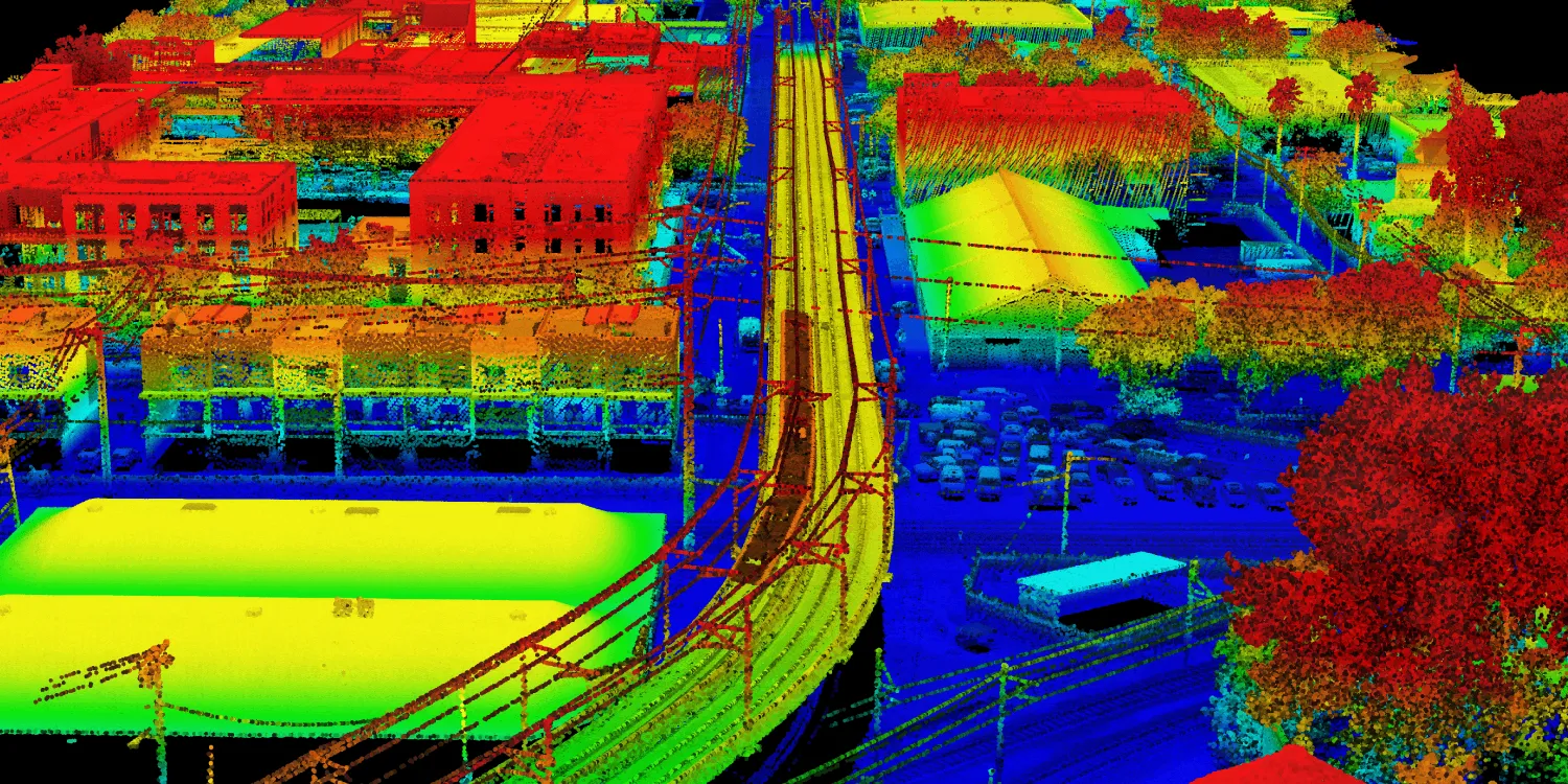
NV5 classified point clouds are acquired by very high resolution lidar sensors over the contintental USA and Canada. They can be used for infrastructure monitoring, vegetation management, and urban planning.

| Data product | Description | Order link |
|---|---|---|
| Distribution | Classified point clouds from urban, wide area AOIs API name and ID: Not integrated | |
| Transmission | Classified point clouds from rural, narrow AOIs API name and ID: Not integrated |
| Specification | Description |
|---|---|
| Provider | NV5 |
| Collection type | Tasking from 5,500 credits per km2 |
| Product type | Lidar |
| System type | Aerial |
| Specification | Description |
|---|---|
| Point density | Distribution: 25, 35, or 60 ppsm (points per square meter) Transmission: 35 or 60 ppsm |
| Point classes |
|
| Data source | Fixed-wing aircraft with lidar sensors |
| Specification | Description |
|---|---|
| Coordinate reference system | UTM-WGS84 |
| Positional accuracy | Horizontal: 30 cm absolute Vertical: 10 cm absolute |
| Specification | Description |
|---|---|
| Limitations | Input: AOI at least 200 m wide Output: Classified point clouds |
| Minimum charge | Distribution: as per 550 km2 Transmission: as per 1,600 km in length |
The geographic coverage is over the continental USA and Canada.