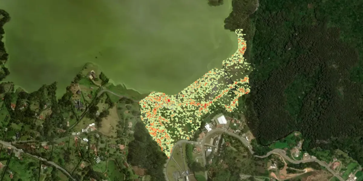
ASTERRA provides satellite-based soil moisture maps that capture subsurface moisture levels.

| Data product | Output | Order link |
|---|---|---|
| Soil Moisture Insights | Soil moisture maps API name and ID: Not integrated |
| Specification | Description |
|---|---|
| Provider | ASTERRA |
| Collection type | Catalog from 28,100 credits per km2 |
| Product type | Derived product |
| System type | Satellite |
| Specification | Description |
|---|---|
| Data source | L-band SAR |
| Specification | Description |
|---|---|
| Coordinate reference system | Geographic-WGS84 |
| Positional accuracy | 6 m |
| Specification | Description |
|---|---|
| Limitations | Input: AOI Availability: From 2016 Output: Soil moisture maps |
| Minimum charge | As per 3 km2 |