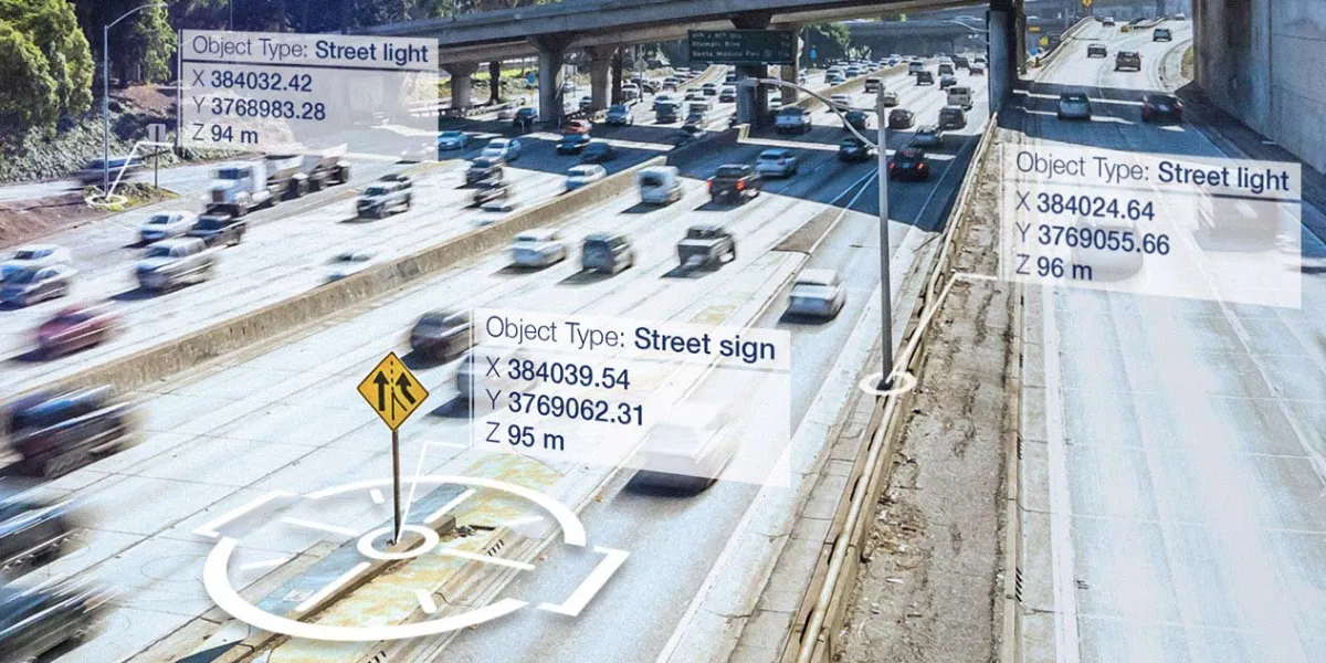
Airbus Ground Control Points (GCPs) provide highly accurate geolocation data of infrastructure features like light poles, traffic signs, and buildings. They can be used for geospatial data validation, processing, and orthorectification.

| Data product | Number of points | Order link |
|---|---|---|
| Standard GCPs | 10 or 20 points API name and ID: Not integrated | |
| Premium GCPs | 10 points API name and ID: Not integrated |
| Specification | Description |
|---|---|
| Provider | Airbus |
| Collection type | Catalog from 674,300 credits per scene |
| Product type | Derived product |
| System type | Satellite |
| Specification | Description |
|---|---|
| Point density | Standard: 1 per 100 km2 Premium: 1 per 2.5 km2 |
| Data source | TerraSAR‑X |
| Specification | Description |
|---|---|
| Coordinate reference system | UTM-WGS84 |
| Positional accuracy | Standard: < 1 m CE90 Premium: < 20 cm CE90 |
| Specification | Description |
|---|---|
| Limitations | Input: AOI Availability: From 2019 Output: Point data |
| Minimum charge | As per 25 km2 |
The geographic coverage is global.