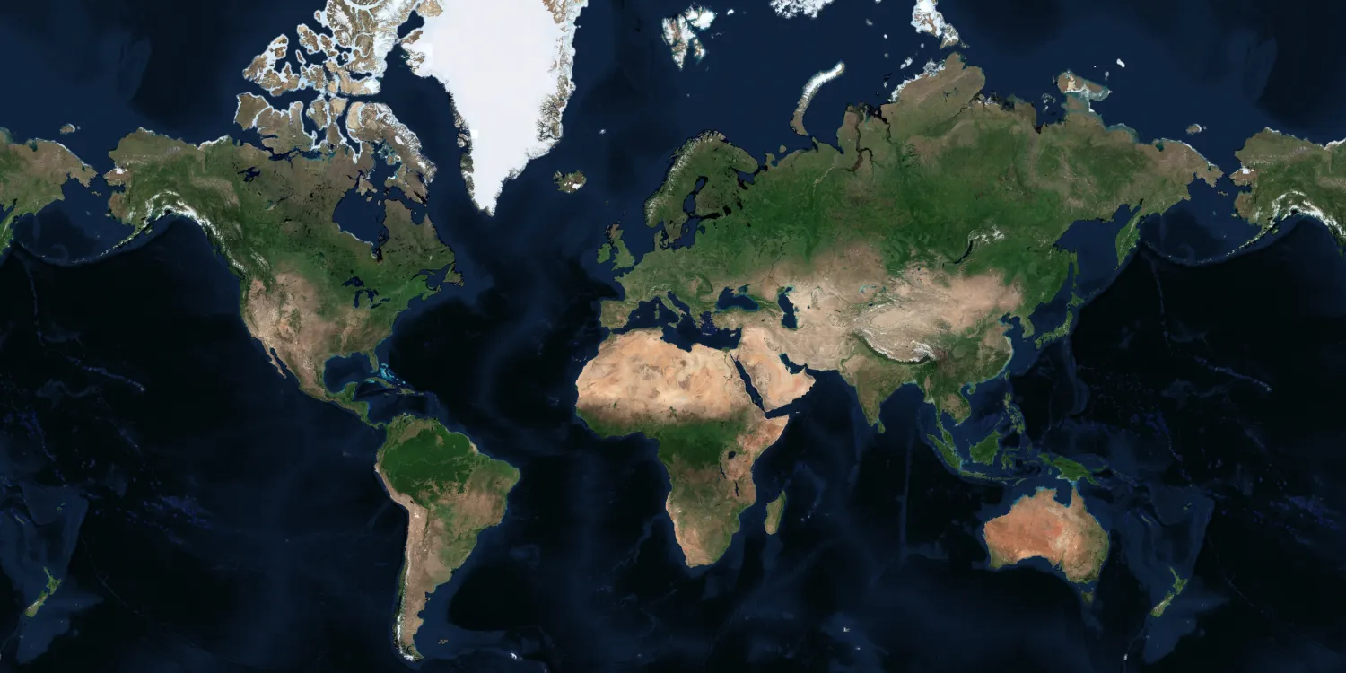
Airbus provides a very high resolution global basemaps that can be used for visualization and simulation solutions. See more on the marketplace.
This collection isn’t integrated into the platform and can only be ordered upon request.

The geographic coverage is global.
| Data product | Type | Availability |
|---|---|---|
| Airbus — Tailored Basemap | Catalog* | On demand |
| Airbus — Global Basemap | Catalog* | Off-the-shelf |
*This data product isn’t integrated into the platform and can only be ordered upon requestrequest.
| Specification | Description |
|---|---|
| Provider | Airbus |
| Collection type | Catalog |
| Product type | Derived product |
| System type | Satellite |
| Specification | Description |
|---|---|
| Resolution | Tailored Basemap:
|
| Data source | Pléiades Neo, Pléiades, and SPOT |
| Specification | Description |
|---|---|
| Spectral bands | RGB |
| Specification | Description |
|---|---|
| Coordinate reference system | Geographic-WGS84 |
| Positional accuracy | ≤ 5 m CE90 absolute |
| Specification | Description |
|---|---|
| Limitations | Input: AOI Availability: from 2012 Output: tiled imagery |
| Minimum charge | Tailored Basemap 15, 30, or 50 cm: as per 100 km2 Tailored Basemap 1.50 m: as per 1,000 km2 Global Basemap: as per 2,500 km2 |