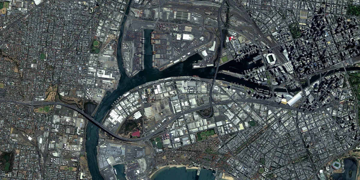
Vision-1 provides complementary imaging capacity to the existing Airbus Earth observation constellation, delivering orthorectified products with a spatial resolution of up to 87 cm. See more on the marketplace.

The geographic coverage is global.
| Data product | Type | Spectral bands combination |
|---|---|---|
| Custom | Tasking | Available band combinations and bundles
|
| Basic Projected | Catalog* | Available band combinations and bundles
|
| Basic Ortho | Catalog* | Available band combinations and bundles
|
*This data product isn’t integrated into the platform and can only be ordered upon request.
| Specification | Description |
|---|---|
| Provider | Airbus |
| Collection type | Tasking Catalog |
| Product type | Optical |
| System type | Satellite |
| Specification | Description |
|---|---|
| Resolution | Panchromatic: 83 cm Pansharpened: 83 cm Multispectral: 3.48 m |
| Bit depth per pixel | 8-bit 16-bit |
| Delivery format | A ZIP file containing the following files:
|
| Masks | ROI Transparency |
| NoData value | 0 |
| Primary | Georectified | Orthorectified | |
|---|---|---|---|
| Basic | Basic Projected* | Basic Ortho* | |
| TOA | |||
| Surface reflectance | |||
| Display |
*Upon request.
| Specification | Description |
|---|---|
| Acquisition mode | Mono |
| Incidence angle | Up to 20° |
| Off-nadir angle | 45° |
| Tasking priority | Standard |
| Orbit | Sun-synchronous, at 583 km |
| Number of satellites | 1 |
| Revisit rate | Every 8 days |
| Swath width | 20.8 km |
| Specification | Description |
|---|---|
| Spectral bands | Panchromatic: 450–650 nm Multispectral:
|
| Specification | Description |
|---|---|
| Coordinate reference system | Geographic-WGS84 |
| Positional accuracy | < 12 m CE90 absolute at nadir |
| Specification | Description |
|---|---|
| Limitations | Input: AOI at least 2 km wide Cloud coverage: 0–45% Output: AOI-clipped imagery |
| Minimum charge | As per 100 km2 |
| Specification | Description |
|---|---|
| Limitations | Input: AOI at least 500 m wide Availability: from 2019 Output: AOI-clipped imagery |
| Minimum charge | As per 25 km2 |
| Data product | Type | Name and ID | Collection name |
|---|---|---|---|
| Custom | Tasking | Name: vision-1-taskingID: ee4fa8de-1826-41ba-a3ee-93fea174fbba | vision-1-tasking |