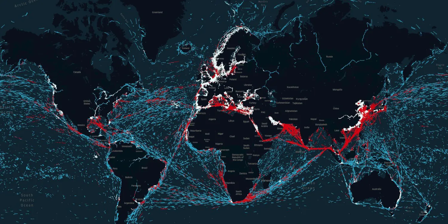
Spire provides maritime AIS data to monitor historical vessel positions and tracks, acquired by terrestrial and satellite sensors. See more on the marketplace.
This collection isn’t integrated into the platform and can only be ordered upon request.

The geographic coverage is global.
| Data product | Type |
|---|---|
| Spire Maritime — Historical Vessel Points (HVP) | Catalog* |
| Spire Maritime — Historical Vessel Tracks (HVT) | Catalog* |
*This data product isn’t integrated into the platform and can only be ordered upon requestrequest.
| Specification | Description |
|---|---|
| Provider | Spire |
| Collection type | Catalog |
| Product type | Derived product |
| System type | Satellite |
| Specification | Description |
|---|---|
| Data source | Satellite and terrestrial AIS receivers |
| Specification | Description |
|---|---|
| Orbit | Sun-synchronous, at 500–550 km |
| Number of satellites | 100 |
| Specification | Description |
|---|---|
| Coordinate reference system | Geographic-WGS84 |
| Specification | Description |
|---|---|
| Limitations | Input: vessel identifers Availability: from 2011 Output: historical vessel data |