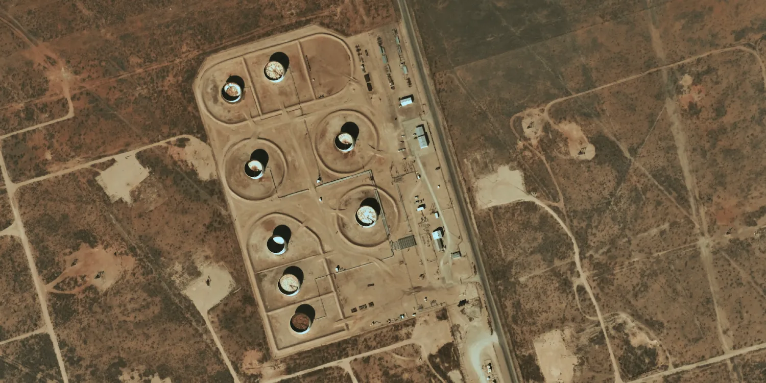
Near Space Labs imagery is acquired by a fleet of stratospheric balloons up to 5 times a day. See more on the marketplace.

Geographic coverage and restrictions
The geographic coverage is over the USA.
| Data product | Type | Spectral bands combination |
|---|
| Custom | Tasking | 3-band: multispectral (RGB) |
| Specification | Description |
| Provider | Near Space Labs |
| Collection type | Tasking |
| Product type | Optical |
| System type | Aerial |
| Specification | Description |
|---|
| Limitations | Input: AOI
Output: scenes of a certain size intersecting the defined AOI:- 10 cm resolution: 0.4×0.33 km2
- 30 cm resolution: 1.4×1 km2
|
| Data product | Type | Name and ID | Collection name |
|---|
| Custom | Tasking | Name: nsl-tasking
ID: 21591ec1-8365-46a6-8f63-5f9cfff2f53e | nsl-tasking |
