Globhe provides very high-resolution optical drone imagery anywhere on the globe. See more on the marketplace or download sample data.
This collection isn’t integrated into the platform and can only be ordered upon request.
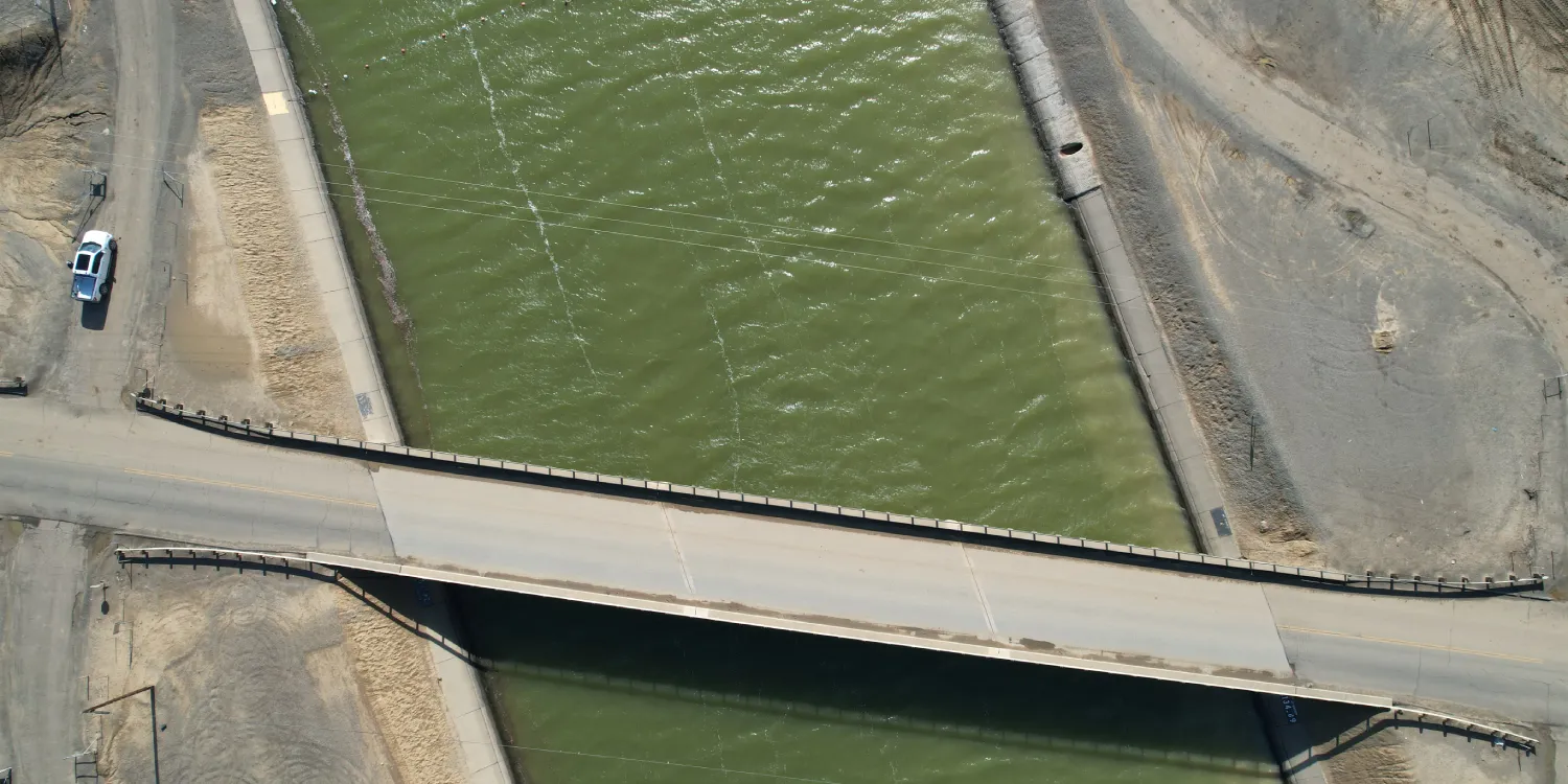
The geographic coverage is global.
| Data product | Type | Spectral bands combination |
|---|---|---|
| Globhe — RBG | Catalog* | 3-band: multispectral true color (RGB) |
| Custom | Tasking* | 3-band: multispectral true color (RGB) |
*This data product isn’t integrated into the platform and can only be ordered upon request.
| Specification | Description |
|---|---|
| Provider | Globhe |
| Collection type | Tasking Catalog |
| Product type | Optical |
| System type | Drone |
| Specification | Description |
|---|---|
| Resolution | 1–5 cm |
| Specification | Description |
|---|---|
| Acquisition mode | Mono |
| Specification | Description |
|---|---|
| Spectral bands | RGB |
| Specification | Description |
|---|---|
| Coordinate reference system | Geographic-WGS84 |
| Positional accuracy | With GCPs: < 10 cm absolute |
| Specification | Description |
|---|---|
| Limitations | Input: AOI Output: AOI-clipped imagery |
| Minimum charge | As per 1 km2 |
| Specification | Description |
|---|---|
| Limitations | Input: AOI Availability: from 2020 Output: AOI-clipped imagery |
| Minimum charge | As per 1 km2 |